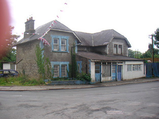
What is recorded here
Pair of semi-detached four-bay two-storey houses, built c.1870, having advanced two-bay sections to either end creating a U-shaped plan. Later single-storey extensions built across the front elevation (west), formerly in use as a shop. Now out of use. Hipped natural slate roof (half-hipped over advanced sections) having a moulded brick chimneystack to either end (north and south) and a shared moulded brick chimneystack to the rear (east), aligned parallel to roof ridge. Cast-iron rainwater goods. Constructed of coursed limestone rubble with brick dressings to the openings and flush brick quoins to the openings. Square-headed window openings with six-over-six and one-over-one pane timber sliding sash windows to building to the north and timber casement windows to the building to the south. Mono-pitch natural slate roof, rendered walls and square-headed window and door openings to later single-storey front extension. Road-fronted, adjacent to road junction, to the north end of Killucan.
An interesting pair of well-composed semi-detached houses, which retain much of their early form and character despite being out of use for a considerable period of time. They are well-built using good quality limestone and retain much of their early fabric. However, the poor quality front extension detracts somewhat from the original balanced and detailed design. These appealing structures have the appearance of estate-built houses and may have been built under the patronage of Lord Longford during the mid-to-late nineteenth-century. Indeed the treatment of the window openings is similar to a number of other buildings in the Killucan streetscape (15312003). These buildings are very prominently sited and make a significant contribution to the streetscape towards the north end of Killucan.
This does not grant access. Most recorded buildings are privately owned; view them only from public ground unless the owner allows entry.
Places near here
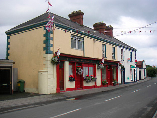 public housepublic house · 40 yd
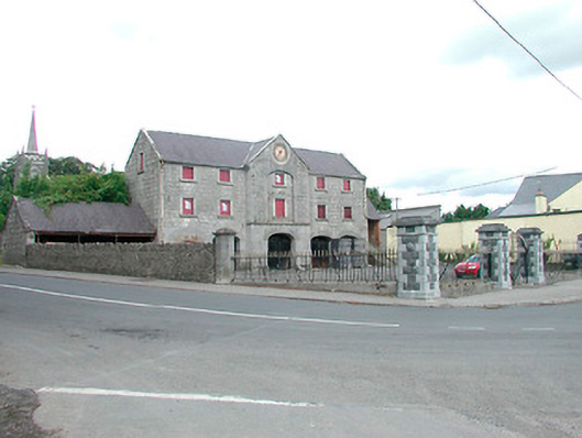 Killucan Market Housemarket house · 154 yd
 CrossCross, Wayside cross · 442 yd
 Rathwire Moat & CastleCastle, motte and bailey · 708 yd
 OutlinedFairy fort / earthen ringfort · 1014 yd
 CastleCastle, unclassified · 1.4 mi
 GinkgoGinkgo · 4.1 mi
 ScregganWood · 5.0 mi
 Croppies' GraveMemorial · 7.8 mi
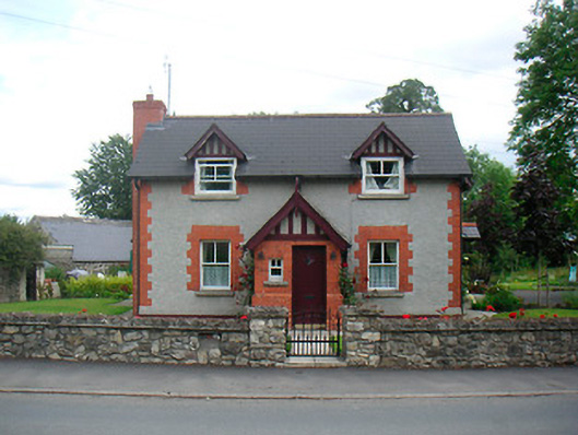 Rose Cottagehouse · 170 yd
 Ch. (In Ruins)Church · 190 yd
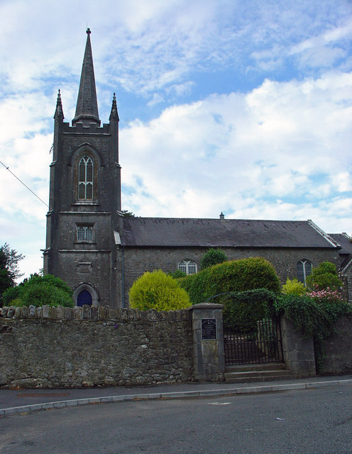 Saint Etchen's Church (Killucan)church/chapel · 210 yd
Other information
Photo: National Inventory of Architectural Heritage · Website use allowed for educational or private purposes with source credit