What is recorded here
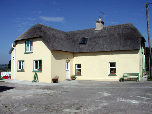
Detached four-bay single-storey thatched cottage with half-dormer attic, c.1800, on an L-shaped plan with two-bay single-storey projecting bay to right. Extensively renovated, c.2000, with single-bay single-storey lean-to conservatory added to side (west) elevation. Hipped gabled roof on an L-shaped plan with replacement reed thatch, c.2000, in English style having rope work to ridges, replacement cement rendered chimney stack, c.2000, and replacement square rooflights, c.2000. Lean-to artificial slate roof to conservatory with timber eaves, and uPVC rainwater goods. Painted replacement cement rendered walls, c.2000. Square-headed window openings with replacement concrete sills, c.1950, and replacement uPVC casement windows, c.2000. Square-headed door opening with replacement glazed tongue-and-groove timber panelled half-door, c.1950. Set back from road in own grounds with concrete forecourt. (ii) Detached five-bay single-storey outbuilding, c.1800, to south-east. Reroofed, c.1950. Pitched roof with painted replacement corrugated-iron, c.1950, iron ridge tiles, and rendered coping. Limewashed lime rendered walls over random rubble stone construction. Square-headed window openings (mostly slit-style) with no sills. Square-headed door openings with replacement iron-sheeted doors, c.2000.
A modest-scale house of some vernacular importance as identified by the informal arrangement of the openings together with a thatched roof. However, inappropriate renovation works in the late twentieth century have compromised much of the external character of the composition. The attendant outbuilding to south-east retains more of its historic patina and contributes significantly to the visual appeal of the site.
This does not grant access. Most recorded buildings are privately owned; view them only from public ground unless the owner allows entry.
Places near here
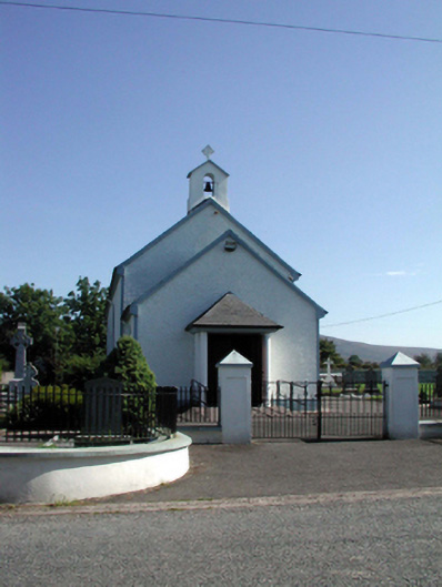 Saint Patrick's Catholic Churchchurch/chapel · 113 yd
 Kilbrien National SchoolOfficially recorded historic building · 280 yd
 Site of Grave YardBurial ground · 459 yd
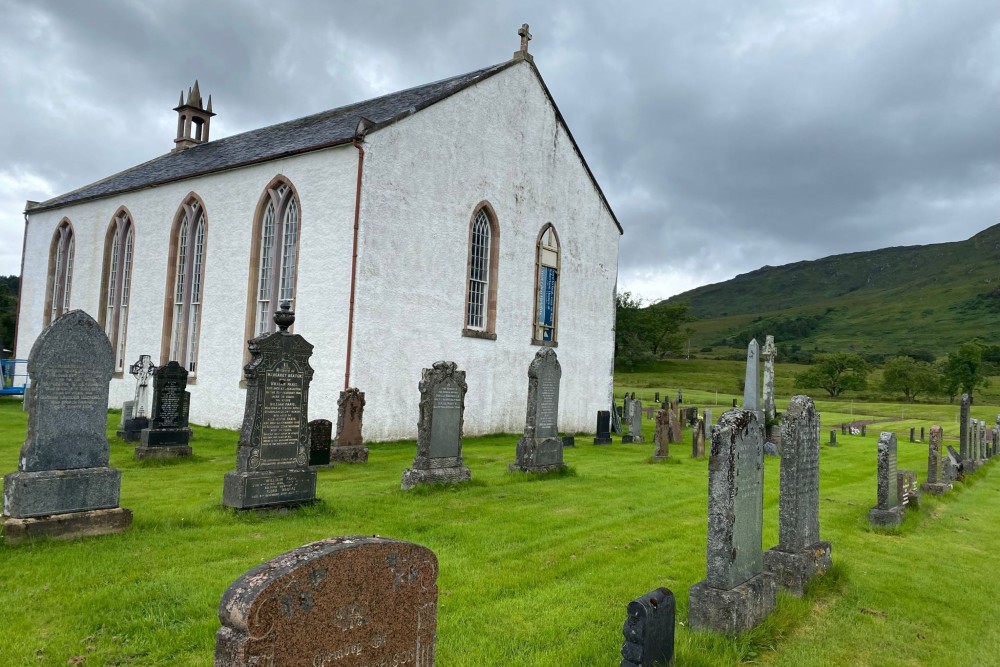 Foilnagarlagh Burial GroundChildren's burial ground · 1158 yd
 Standing StoneMemorial · 1.5 mi
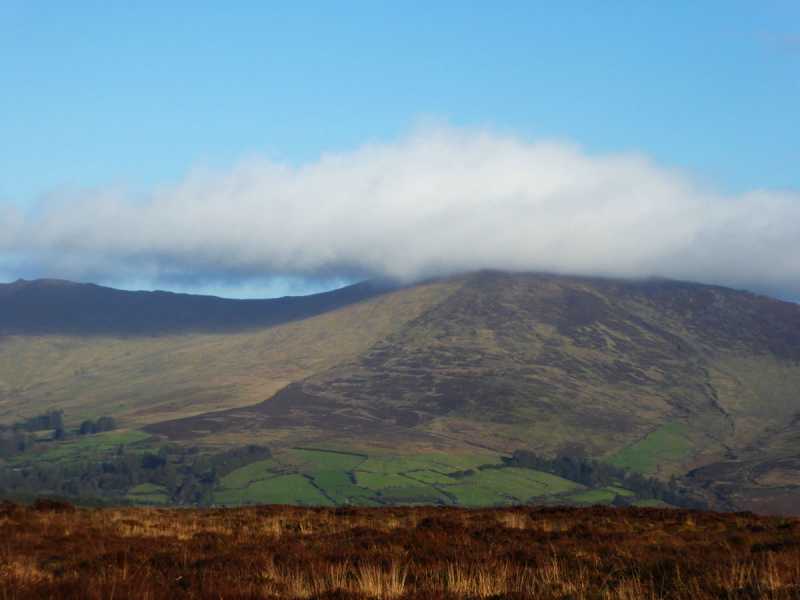 Bleantasour MountainMountain / peak · 2.9 mi
 Coumaraglin MountainMountain / peak · 2.9 mi
 Mahon ValleyCliff · 4.2 mi
 Castle (in ruins)Castle, tower house · 4.7 mi
 Site of CastleCastle, unclassified · 4.8 mi
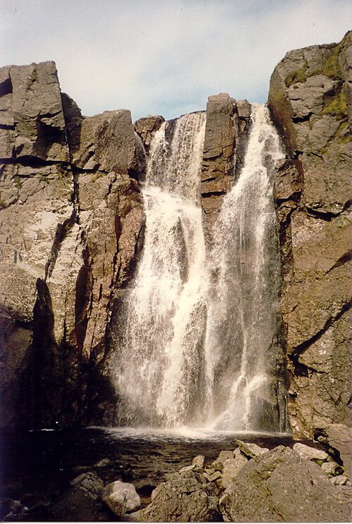 Mahon FallsWaterfall · 5.5 mi
 Siglloges LoopWalking route · 5.8 mi
Other information
Photo: National Inventory of Architectural Heritage · Website use allowed for educational or private purposes with source credit