
What is recorded here
Marked faintly as a small D-shaped area (dims. c. 35m NE-SW; c. 30m NW-SE) backing onto a NE-SW field bank at NW and denoted 'Site of Grave Yard' on the 1840 ed. of the OS 6-inch map. Situated in pasture on a W-facing slope, and c. 20m from the N bank of an E-W stream, it is not visible at ground level.
The above description is derived from the published 'Archaeological Inventory of County Waterford' (Dublin: Stationery Office, 1999). In certain instances the entries have been revised and updated in the light of recent research.
Date of upload/revision: 23 December 2008
The monument record does not grant public access. Check the route and ask the landowner before entering private land.
- What survives
- Recorded monument
Places near here
 Kilbrien National SchoolOfficially recorded historic building · 310 yd
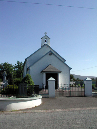 Saint Patrick's Catholic Churchchurch/chapel · 415 yd
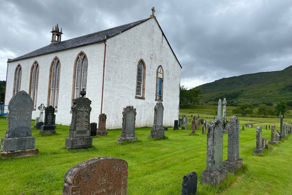 Foilnagarlagh Burial GroundChildren's burial ground · 702 yd
 Man-made underground passage in ScartnadrinymountainMan-made underground passage · 1073 yd
 Standing StoneMemorial · 1.7 mi
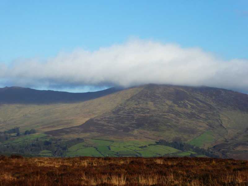 Bleantasour MountainMountain / peak · 2.7 mi
 SeefinMountain / peak · 2.9 mi
 Mahon ValleyCliff · 4.2 mi
 Site of CastleCastle, unclassified · 4.5 mi
 Bawn in BarnankileBawn · 5.0 mi
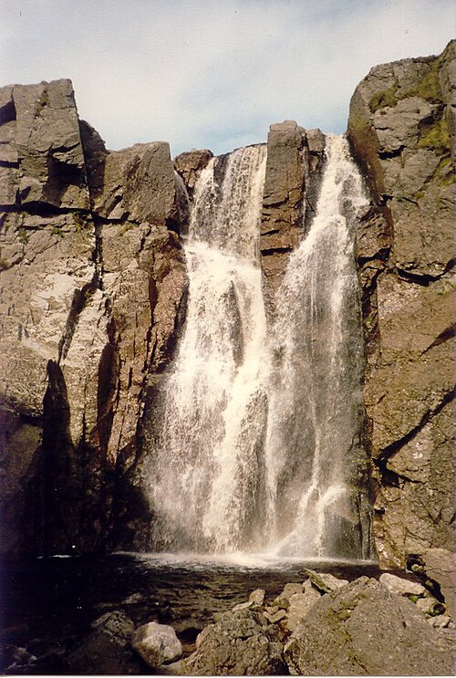 Mahon FallsWaterfall · 5.5 mi
 Siglloges LoopWalking route · 5.7 mi
Other information
Photo: Credit not shown in the picture search · Rights wording not checked; contact us if this picture should be removed