What is recorded here
In pasture, located on a small terrace, with a fall of ground to N and E, within a field system (MA118-137001-). There is a ringfort (MA118-137003-) 50m to NW
Roughly square, sunken area (6m N−S; 5.5m E−W; D 0.5m) defined by an inward-facing scarp. The S and W sides retain remnants of stone facing/walling, which protrudes randomly from the sod. In addition, a number of large upright stones and large boulders are set against or in front of the scarp along the S side. The largest upright (L 1m; H 0.95m; T 0.3m) is at the E end of the S side. Immediately to W of this, there is a large irregular-shaped boulder (max. dim. 1.5m E-W), which appears to be placed in front of the scarp, rather than set into it. At the SW corner there is another large upright slab (L 0.9m; H 0.6m; T 0.3m). It is not clear whether these large stones were part of the original structure or are field clearance boulders placed there subsequently.
The scarp on the N and E sides is gently slumped and grass-covered, and is particularly low and poorly defined at E. The interior is flat and grass-covered, with a surface scatter of loose stones.
Attached images:
MA118-137002-_01.JPG: viewed from NE
MA118-137002-_01.JPG: viewed from SW
Compiled by: Jane O’Shaughnessy
Date of upload: 22 March 2020
The monument record does not grant public access. Check the route and ask the landowner before entering private land.
- What survives
- Recorded monument
Places near here
 Enclosure in Kilquire LowerEnclosure · 558 yd
 IndicatedFairy fort / earthen ringfort · 779 yd
 Bawn in Kilquire LowerBawn · 1276 yd
 Church in ruinsChurch · 1390 yd
 Castle in ruinsCastle, tower house · 1555 yd
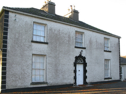 Fort Villefarm house · 1714 yd
 SycamoreSycamore · 3.1 mi
 European ashEuropean ash · 3.7 mi
 LabbadermotCave · 4.8 mi
 Crane IslandIslet · 6.0 mi
 Cow IslandIslet · 6.1 mi
 School of FalconryHeritage attraction · 7.9 mi