What is recorded here
Fairy forts are often called forts because they are strong enough to hold a kingdom of small people, or because they are old enough to make human memories feel young. The cashel in Tullyduff is no longer a fort in the way soldiers would recognise. It is a circle of grass and patience, wide enough for a hundred dances, shallow enough for a cow to graze across without knowing she is walking through history. The fairies did not leave it empty. They redistributed the purpose. What humans built for defense, they rebuilt for breath. The stones stopped pointing at danger and began pointing at life. That is why the place still feels occupied, even when no one is visible.
In pasture, located on a low rise in rolling grassland broken by limestone outcropping. There are good views, especially to N where ground falls gently for c. 150m towards an area of lowlying damp ground. Ground rises gradually to S.
This possible cashel is not shown on any edition of the OS 6-inch maps. It has been partly levelled and the remains are very low profile at ground level.
Subcircular area (39m E−W; c. 40m N−S) defined by a low grass-covered undulation (Wth 3-4m), representing a levelled bank or wall. It is best defined on the W arc where the external slope is enhanced by a natural fall of ground. The bank/wall has been entirely levelled at NNW−ENE, but the outline of a slight rise is still evident. A few large stones protrude randomly from the bank at E and S.
The interior slopes down gently from E of centre to the perimeter at NE−SE. There are two low, sod-covered heap of stones (diam. c. 3m; H 0.25m), most likely field clearance cairns, in the S half.
A NW-SE drystone field wall crosses the NE edge of the ringfort. Levelled remnants of field walls abut the ringfort at E, SW and W, part of a field system (MA118-137001-), which extends to SE and S. There is a possible house (MA118-137002-) 50m to SE.
Compiled by: Jane O’Shaughnessy
Date of upload: 22 March 2020
The monument record does not grant public access. Check the route and ask the landowner before entering private land.
- What survives
- Recorded monument
Places near here
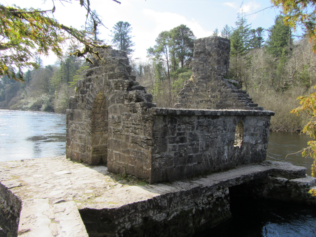 Enclosure in Kilquire LowerEnclosure · 621 yd
 IndicatedFairy fort / earthen ringfort · 701 yd
 Bawn in Kilquire LowerBawn · 1362 yd
 Castle in ruinsCastle, tower house · 1466 yd
 Church in ruinsChurch · 1477 yd
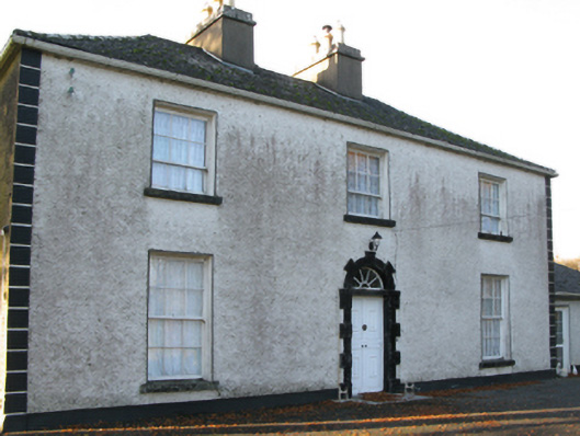 Fort Villefarm house · 1.0 mi
 SycamoreSycamore · 3.1 mi
 European ashEuropean ash · 3.6 mi
 LabbadermotCave · 4.7 mi
 Crane IslandIslet · 6.0 mi
 Cow IslandIslet · 6.1 mi
 School of FalconryHeritage attraction · 7.9 mi