
What is recorded here
In undulating pastureland. An Archaeological Survey of Ballinrobe and District records a bawn wall (H 0.8m) enclosing sub-rectangular area (48.6 N-S; 43.1m E-W) (Lavelle 1994, 102, no. 696). In the SW quadrant of the bawn are the remains of an unclassified castle (MA118-082----).
Compiled by: Jane O'Shaughnessy
Date of upload: 18 December 2013
A local castle; wider significance not recorded.
The monument record does not grant public access. Check the route and ask the landowner before entering private land.
- What survives
- Recorded monument
Places near here
 Church in ruinsChurch · 124 yd
 Enclosure in Kilquire LowerEnclosure · 420 yd
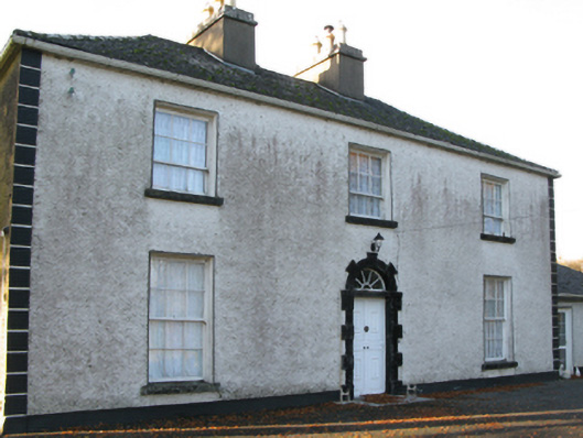 Fort Villefarm house · 542 yd
 IndicatedFairy fort / earthen ringfort · 753 yd
 Castle in ruinsCastle, tower house · 1.0 mi
 Killernan CastleCastle · 1.2 mi
 European YewEuropean Yew · 3.2 mi
 SycamoreSycamore · 3.7 mi
 Crane IslandIslet · 6.7 mi
 School of FalconryHeritage attraction · 8.3 mi
 Ross Errilly FriaryHeritage attraction · 8.3 mi
 Oileán na nAnamIslet · 8.5 mi
Other information
Photo: Credit not shown in the picture search · Rights wording not checked; contact us if this picture should be removed