What is recorded here
Kilquire Lower held the castle of MacJonyn More during the Division of Connaught in 1574, anchoring local power beside pasture and a nearby church. Its bawn wall still encloses a broad rectangular space, though quarrying has bitten into the mound and stripped away much of its former shape. Two chamfered stones lie nearby, perhaps fragments of a Romanesque arch, waiting for someone to imagine the room or gateway they once supported.
In undulating pastureland, church (MA118-007----) 100m ESE. Mound of earth and stone, quarried in parts, with bawn wall (H 0.8m) enclosing subrectangular area (48.6m N-S; 43.1m E-W) (MA118-082001-). Two chamfered stones, probably part of a Romanesque arch, lie 15m to SE. Castle of MacJonyn More, at time of Division of Connaught, 1574 (Knox, 1908, 348).
The above description has been derived from D. Lavelle (compiler), An Archaeological Survey of Ballinrobe and District including Lough Mask and Lough Carra. Lough Mask and Lough Carra Tourist Development Association (1994), No. 696.
Date of upload: 18 December 2013
The monument record does not grant public access. Check the route and ask the landowner before entering private land.
- What survives
- Recorded monument
Places near here
 Bawn in Kilquire LowerBawn · 13 yd
 Church in ruinsChurch · 118 yd
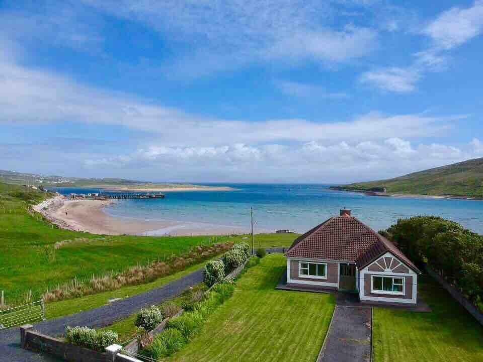 Enclosure in Kilquire LowerEnclosure · 429 yd
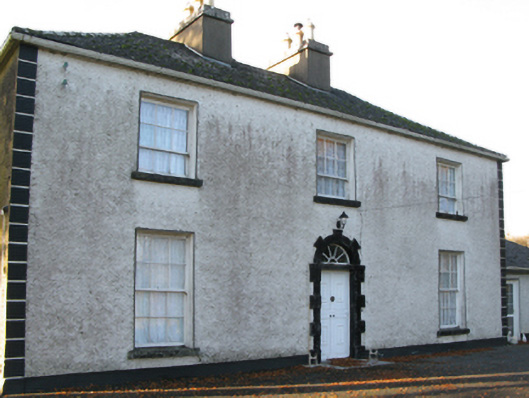 Fort Villefarm house · 532 yd
 IndicatedFairy fort / earthen ringfort · 758 yd
 Castle in ruinsCastle, tower house · 1.0 mi
 European YewEuropean Yew · 3.2 mi
 SycamoreSycamore · 3.7 mi
 Crane IslandIslet · 6.7 mi
 School of FalconryHeritage attraction · 8.3 mi
 Ross Errilly FriaryHeritage attraction · 8.3 mi
 Oileán na nAnamIslet · 8.5 mi