
What is recorded here
Loughanboy is a ruined rectangular tower on a Mayo pasture rise, its north wall still standing two metres thick to second-floor height. Richard MacJonyn owned the place in 1574 when it was called Ellistronbeg, and a spiral stair outline still climbs the northeast corner beside two narrow windows. The first floor keeps a vaulted ceiling and a passage leading to a garderobe at the west end, while a possible medieval settlement lies faintly to the northwest.
On rise in undulating pasture; possible medieval settlement to NW. N wall (L 8.2m; Wth 2m) of rectangular tower survives to 2nd-floor. Outline of porly preserved spiral stairs, lighted by two narrow windows, in NE corner runs to top of building. Mural passage in 1st-floor leads to garderobe at W end. Evidence of vaulted ceiling on 1st-floor. Owned by Richard MacJonyn in 1574 when known as Ellistronbeg (Knox 1908, 348).
The above description has been derived from D. Lavelle (compiler), An Archaeological Survey of Ballinrobe and District including Lough Mask and Lough Carra. Lough Mask and Lough Carra Tourist Development Association (1994), No. 719.
Date of upload: 24 December 2013
The monument record does not grant public access. Check the route and ask the landowner before entering private land.
- What survives
- Recorded monument
Places near here
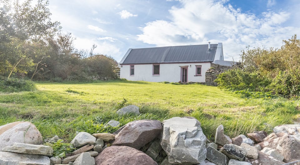 IndicatedFairy fort / earthen ringfort · 321 yd
 Enclosure in Thomastown (kilmaine By., Kilmainemore Par.)Enclosure · 665 yd
 Bawn in Kilquire LowerBawn · 1.0 mi
 Church in ruinsChurch · 1.0 mi
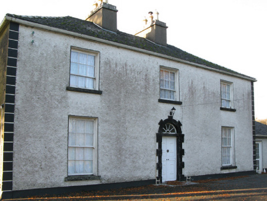 Fort Villefarm house · 1.0 mi
 Killernan CastleCastle · 1.7 mi
 European ashEuropean ash · 3.7 mi
 SycamoreSycamore · 3.8 mi
 LabbadermotCave · 4.6 mi
 Gibbs IslandsIslet · 6.0 mi
 Easter IslandIslet · 6.3 mi
 School of FalconryHeritage attraction · 7.3 mi
Other information
Photo: Credit not shown in the picture search · Rights wording not checked; contact us if this picture should be removed