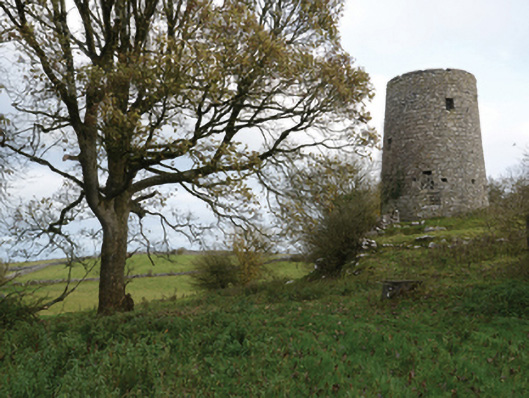
Places near here
Photo credits
- National Inventory of Architectural Heritage
- Kmcnamee, Wikimedia Commons · CC BY-SA 4.0
- Golfing in Ireland; photographer not stated, Source publisher
- Ballinrobe GAA Club; individual photographer not stated, www.ballinrobegaaclub.com
- andrew mcmillan, Wikimedia Commons · CC BY 3.0
- Jonathan Wilkins, Geograph · CC BY-SA 2.0
- Marathon, Geograph · CC BY-SA 2.0
- Graham Horn, Geograph · CC BY-SA 2.0
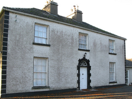 Fort VilleFarm house · 1533 yd
Explorer Tom Fort Ville in Ellistronbeg has an escape plan for its first owner that involves running straight into the low-lying…
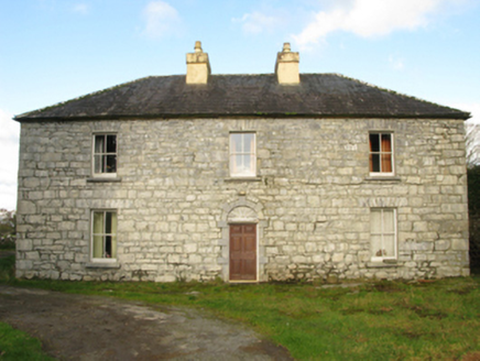 Carranvilla HouseFarm house · 1598 yd
Explorer Tom Carranvilla House in Caheravoostia goes by several names like Carravilla or Carraville, which makes me think the…
 Kilmaine, Kilmaine GAAGAA ground · 1.6 mi
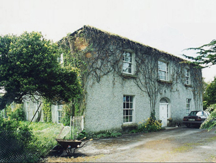 GreaghansFarm house · 1.6 mi
Explorer Tom Grealghans farmhouse is currently judging your driving skills based on how close you park to its scenic views. The…
 Milford HouseGates/railings/walls · 2.5 mi
Explorer Tom The Milford House gateway is basically the bouncer for a very exclusive club that nobody wants to join anymore. It…
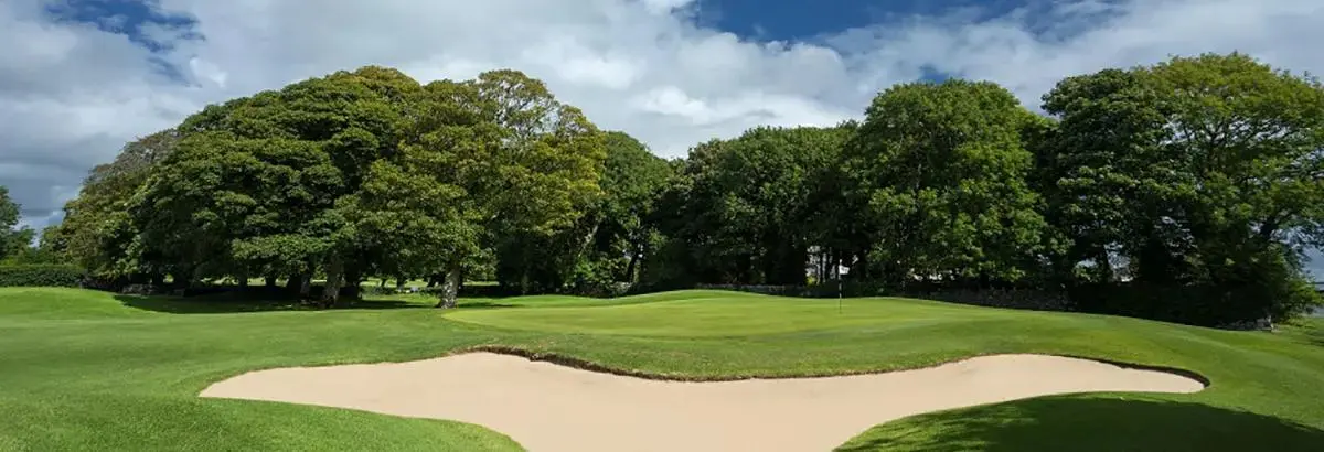 Ballinrobe Golf ClubGolf course · 3.6 miHollymount, Hollymount/Carramore GAAGAA ground · 3.8 mi
 Flanagan Park, Ballinrobe GAAGAA ground · 4.2 mi
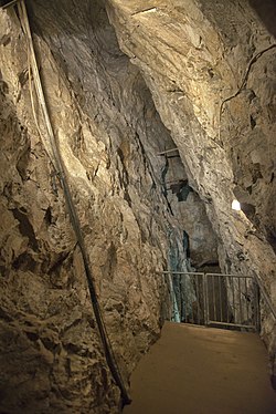 Glengowla MinesHeritage attraction · 17 mi
Explorer Tom At Glengowla Mines you swap Connemara's big sky for a hard hat and head into the workings beneath it, where original…
 Leaca DonnaMountain / peak · 22 mi
Explorer Tom Leaca Donna has false summits because its builder was a lazy architect who got tired halfway up the slope. Stand back…
 Screebe WaterfallWaterfall · 22 mi
Explorer Tom Screebe Waterfall would totally ace a reality show by screaming louder than anyone else and refusing to share the…
 Na Caoráin DubhaMountain / peak · 25 mi
Explorer Tom Na Caoráin Dubha has a fan club made entirely of sheep who think they’re the stars of this show. They’ve been staring…
More historic places in County Mayo · All of County Mayo

What do you know about this place?Tap to add a comment or ask a question