What is recorded here
No surface remains of any dwelling pre-1700 in area marked on 6" OS 6-inch map. Described in the OS field name books as New Ross Old house (O'Donovan et. al. 1840) which at that time had been replaced by a farmhouse and offices which were built on the site of the old house.
Compiled by: Jean Farrelly and Caimin O'Brien
Date of upload/revision: 22 September 2008
The monument record does not grant public access. Check the route and ask the landowner before entering private land.
- What survives
- Recorded monument
Places near here
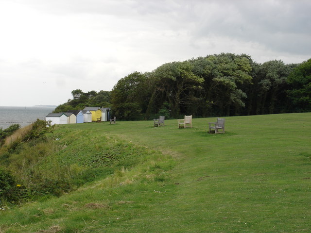 Cliff-edge fort in OakhamptonCliff-edge fort · 283 yd
 Oakhampton Househouse · 516 yd
 Cork WellHoly well · 1503 yd
 CastleCastle, ringwork · 1737 yd
 Tower (in Ruins)Bawn · 1.1 mi
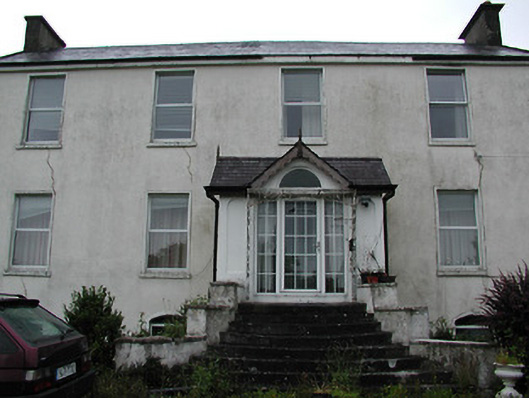 Clareviewcharter school · 1.1 mi
 Ballyhourigan WoodsForest · 3.5 mi
 Boolatin TopMountain / peak · 3.9 mi
 The Pollagh TrailNature reserve · 4.5 mi
 Slieve Felim WayWalking route · 4.5 mi
 Slieve FelimMountain / peak · 4.6 mi
 Cast Iron BridgeHeritage attraction · 5.1 mi