What is recorded here
Situated in a slight depression in undulating countryside with the nearby Mulkear River to the S. A disused holy well consisting of a natural spring (dims. 0.9m x 0.5m) with water flowing S towards the nearby river. According to a local landowner the well was known as St Bridget's Well (FitzPatrick 1985b, 160). Vol. 1 - North Tipperary' compiled by Jean Farrelly and Caimin O'Brien (Dublin: Stationery Office, 2002).
From the National Monuments Service (Archaeological Survey of Ireland) record TN031-072
The monument record does not grant public access. Check the route and ask the landowner before entering private land.
- What survives
- Recorded monument
Places near here
Kilpatrick Church (Site of)Church · 397 yd ClareviewCharter school · 758 ydOakhampton HouseHouse · 1273 ydFont (present location) in NewportFont (present location) · 1471 ydThe Pollagh TrailNature reserve · 4.1 miBallyhourigan WoodsForest · 4.4 miCast Iron BridgeHeritage attraction · 4.5 miCastle Connell (in ruins)Castle, Anglo-Norman masonry castle · 4.5 miCastle ConnellRuins · 4.5 miSlieve Felim WayWalking route · 4.7 miBoolatin TopMountain / peak · 4.8 miSlieve FelimMountain / peak · 5.0 mi
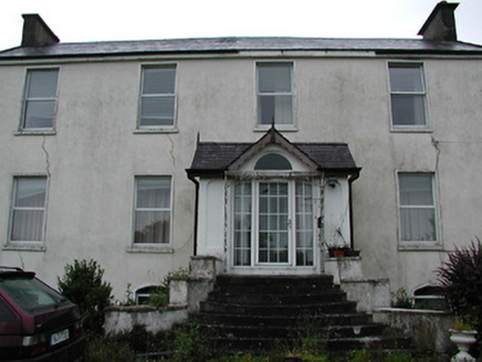 ClareviewCharter school · 758 yd
 Oakhampton HouseHouse · 1273 ydFont (present location) in NewportFont (present location) · 1471 ydThe Pollagh TrailNature reserve · 4.1 miBallyhourigan WoodsForest · 4.4 miCast Iron BridgeHeritage attraction · 4.5 mi
 Castle Connell (in ruins)Castle, Anglo-Norman masonry castle · 4.5 mi
 Castle ConnellRuins · 4.5 miSlieve Felim WayWalking route · 4.7 miBoolatin TopMountain / peak · 4.8 mi
 Slieve FelimMountain / peak · 5.0 mi
Pictures: National Inventory of Architectural Heritage; Garry Dickinson, Geograph · CC BY-SA 2.0; SirGarick, Wikimedia Commons · CC BY-SA 4.0; Antony Dixon, Wikimedia Commons · CC BY-SA 2.0
More archaeology and monuments in County Tipperary · All of County Tipperary
What do you know about this place?