
What is recorded here
This church site was located on an E-facing slope of rising ground overlooking a river with a nearby bowl-barrow (TN031-071) to the SW. The OS Letters describe the site as consisting of the wall-footings of a church which measures 5.7m N-S by 12m approx. E-W with a wall thickness of 1m (O'Flanagan 1930, vol. 2, 7). Described in the OS Namebooks (1840) as a children's burial ground (TN031-070002). No visible remains at ground level.
The above description is derived from 'The Archaeological Inventory of County Tipperary. Vol. 1 - North Tipperary' compiled by Jean Farrelly and Caimin O'Brien (Dublin: Stationery Office, 2002). In certain instances the entries have been revised and updated in the light of recent research.
Date of upload/revision: 22 September 2008
The monument record does not grant public access. Check the route and ask the landowner before entering private land.
- What survives
- Recorded monument
Places near here
 Cork WellHoly well · 397 yd
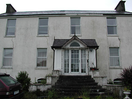 Clareviewcharter school · 973 yd
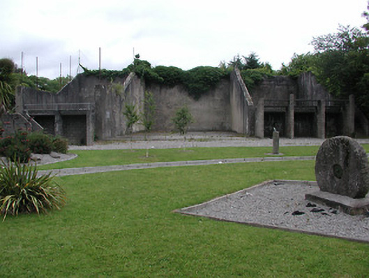 handball alleyhandball alley · 1391 yd
 Font (present location) in NewportFont (present location) · 1549 yd
 Site of Derryleigh CastleCastle, unclassified · 1.4 mi
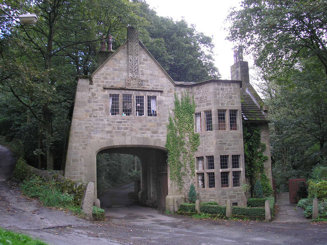 CastleCastle, tower house · 1.6 mi
 The Pollagh TrailNature reserve · 3.9 mi
 Cast Iron BridgeHeritage attraction · 4.2 mi
 Ballyhourigan WoodsForest · 4.4 mi
 The CapstanHeritage attraction · 4.6 mi
 Boolatin TopMountain / peak · 4.9 mi
 Slieve Felim WayWalking route · 4.9 mi
Other information
Photo: Credit not shown in the picture search · Rights wording not checked; contact us if this picture should be removed