What is recorded here
Situated on the summit of a high ridge in undulating grassland with wide views of the surrounding countryside. Ringfort (WM012-111---) 150m to NNW. In the W quadrant of the interior of A ringfort (WM012-112---) is a low mound (approx. dims. 12.5 N-S; 11.5m E-W; H 0.5m), probably the remains of a house site.
Compiled by: Frank Coyne and Caimin O'Brien
Date of upload: 19 February 2018
The monument record does not grant public access. Check the route and ask the landowner before entering private land.
- What survives
- Recorded monument
Places near here
 St. Patricks WellHoly well · 561 yd
 Partially hachuredFairy fort / earthen ringfort · 695 yd
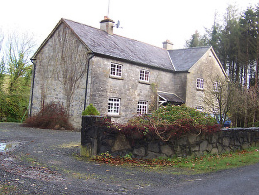 Woodview Househouse · 736 yd
 ChapelChapel · 917 yd
 CastleCastle, motte · 1.2 mi
 Long PlantingForest · 1.4 mi
 Scragh Bog Nature ReserveNature reserve · 1.4 mi
 IndicatedCastle, tower house · 1.6 mi
 Church IslandIsland · 2.3 mi
 Saint Brigid's WellSpring · 2.9 mi
 Srudarra IslandIslet · 3.1 mi
 United Nations War MemorialMemorial · 3.6 mi