What is recorded here
Depicted on the 1837 ed. OS 6-inch map and annotated as ‘St. Patrick’s Well’. Situated in a small depression in marshy ground at the foot of a ridge. A semi-circular setting of limestone slabs (max. H 0.5m) enclosing a spring well, with stream which flows out from an opening at SW. Some coins noted in the water at the time of the ASI site visit in 1981. A footpath leading to the well from S which is indicated on the 6-inch map, looks like a sunken road on the Digital Globe aerial photograph taken November 2011.
Depicted on the 1837 ed. OS 6-inch map and annotated as ‘St. Patrick’s Well’. Situated in a small depression in marshy ground at the foot of a ridge. A semi-circular setting of limestone slabs (max. H 0.5m) enclosing a spring well, with stream which flows out from an opening at SW. Some coins noted in the water at the time of the ASI site visit in 1981. A footpath leading to the well from S which is indicated on…
From the National Monuments Service (Archaeological Survey of Ireland) record WM012-110
The monument record does not grant public access. Check the route and ask the landowner before entering private land.
- What survives
- Recorded monument
Places near here
Photo credits
- National Inventory of Architectural Heritage
- fr:Gavigan:Knockdrin_a.jpg/Knockdrin_a.jpg, Wikimedia Commons · GFDL
- kevin higgins, Geograph · CC BY-SA 2.0
- Bridget Neville, Wikimedia Commons · CC BY-SA 4.0
- Rev William Falkiner (Life time: d 1910), Wikimedia Commons · Public domain
- Brian Shaw, Geograph · CC BY-SA 2.0
HachruedFairy fort / earthen ringfort · 669 yd Woodview HouseHouse · 803 ydOutlinedFairy fort / earthen ringfort · 851 ydBallynagallGate lodge · 872 ydScragh Bog Nature ReserveNature reserve · 1.2 miKnockdrin CastleCastle · 1.4 miLong PlantingForest · 1.5 miChurch IslandIsland · 2.1 miSaint Brigid's WellSpring · 2.8 miSrudarra IslandIslet · 2.9 miMortimer's CastleArchaeological place · 4.1 miFamine MemorialMemorial · 4.5 mi
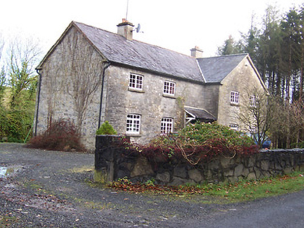 Woodview HouseHouse · 803 ydOutlinedFairy fort / earthen ringfort · 851 yd
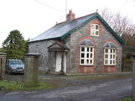 BallynagallGate lodge · 872 ydScragh Bog Nature ReserveNature reserve · 1.2 mi
 Knockdrin CastleCastle · 1.4 miLong PlantingForest · 1.5 mi
 Church IslandIsland · 2.1 mi
 Saint Brigid's WellSpring · 2.8 miSrudarra IslandIslet · 2.9 mi
 Mortimer's CastleArchaeological place · 4.1 mi
 Famine MemorialMemorial · 4.5 mi
More archaeology and monuments in County Westmeath · All of County Westmeath
What do you know about this place?