What is recorded here
Situated on a rise, in pasture, with good views from NW-N-NE and restricted to S. In W quadrant of ringfort (WM023-035----) are the remains of a roughly rectangular-shaped, sunken area (max. L 3m) defined by a low earth and stone bank (H 0.75m).
Compiled by Alison McQueen, Vera Rahilly and Caimin O’Brien.
Date of upload: 24 July 2019
The monument record does not grant public access. Check the route and ask the landowner before entering private land.
- What survives
- Recorded monument
Places near here
 Ardnagragh CastleCastle, tower house · 480 yd
 OutlinedHoly well · 982 yd
 CastleCastle, unclassified · 1408 yd
 Enclosure in DunnamonaEnclosure · 1474 yd
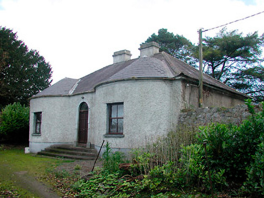 Walderstown Lodgehouse · 1.2 mi
 Killininneen Househouse · 1.3 mi
 Noughaval CemeteryArchaeological place · 2.7 mi
 European BeechEuropean Beech · 4.2 mi
 Corran IslandIslet · 4.7 mi
 Killinure BayBay · 4.7 mi
 Temple's IslandIslet · 4.8 mi