What is recorded here
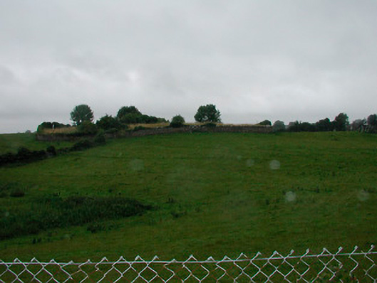
Situated on floodplain of the River Deel located immediately to E. Possible monument visible as a natural hillock defined by the remains of a scarp with possible house sites in E quadrant that are possibly visible on Digital Globe aerial photography.
Compiled by: Alison McQueen, Vera Rahilly and Caimin O’Brien
Date of upload: 10 July 2019
The monument record does not grant public access. Check the route and ask the landowner before entering private land.
- What survives
- Recorded monument
Places near here
 IndicatedFairy fort / earthen ringfort · 481 yd
 Church (in Ruins)Church · 670 yd
 graveyard/cemeterygraveyard/cemetery · 674 yd
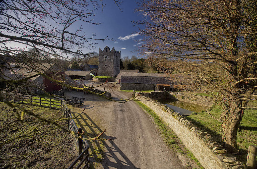 CastleCastle, unclassified · 972 yd
 Enclosure in Joristown LowerEnclosure · 1.6 mi
 Rathwire Moat & CastleCastle, motte and bailey · 2.3 mi
 ScregganWood · 3.2 mi
 GinkgoGinkgo · 4.8 mi
 Croppies' GraveMemorial · 6.6 mi
 Grange Beg Housedovecote/pigeon house/aviary · 922 yd
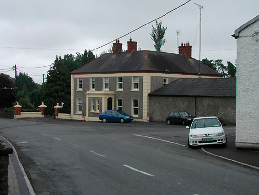 Riverview Househouse · 990 yd
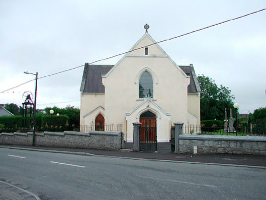 Saint Brigid's Catholic Churchchurch/chapel · 1028 yd