What is recorded here
Visible on aerial photographs (OS 1, 3323-2), and situated on a shelf on the slight N-facing slope of a ridge. Subrectangular grass-covered area (dims 7.8m E-W; 3.5m N-S) defined by an earthen bank (Wth. 2.2-3.8m; H 0.1-0.3m). There is an entrance (Wth. 3m) at SSE. Archaeological excavation (08E0007) recovered only a short section of a ditch (L 1.1m; Wth 0.3-0.55m; D 0.14m) and evidence of seven post-holes leading the excavator to suggest that it may have been a ritual rather than domestic site (Tierney 2011). One piece of struck flint was recovered from topsoil (Tierney 2008)
Compiled by: Michael Moore
Date of upload: 20th June 2011
Amended: 29 January 2020
The monument record does not grant public access. Check the route and ask the landowner before entering private land.
- What survives
- Recorded monument
Places near here
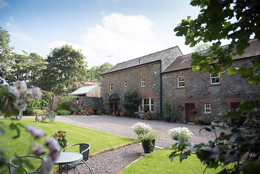 Enclosure in CarrickmoreEnclosure · 383 yd
 Hut site in CarrickmoreHut site · 572 yd
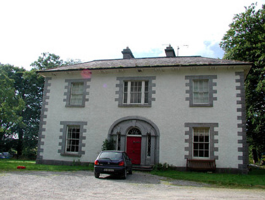 Carrigard Househouse · 985 yd
 TemplenadrineyChurch · 1755 yd
 Lough Key Forest ParkWood · 1.6 mi
 Erris BayBay · 1.6 mi
 Boyle AbbeyHeritage attraction · 1.6 mi
 King William MemorialMonument · 1.7 mi
 Moylung Castle (in ruins)Castle, unclassified · 1.9 mi
 Western RedcedarWestern Redcedar · 2.0 mi
 Bingham IslandIslet · 2.0 mi
 Horse-chestnutHorse-chestnut · 2.0 mi