
What is recorded here
On a terrace of rock-outcrop, and probably an early ecclesiastical site. Visible in 1995 as a D-shaped grass-covered ecclesiastical enclosure (RO006-083004-) (dims 27.5m E-W; 22.5m N-S) defined by the edge of the outcrop N-E (max. H 3m) and an earthen bank (Wth 4m; H 0.3-0.7m) elsewhere. The foundations of a mortared stone wall, presumably of a church, and burials (RO006-083002-) were found in the course of an excavation in 1989 for the Boyle by-pass (O'Riordain 1990a, 45). A further 17 inhumations were recovered S of the ecclesiastical enclosure, when it was determined that the burials extended further W, but not E under the by-pass road (Channing 1994c). Man-made underground passage (RO006-083005-) is at the W side of the ecclesiastical enclosure and the holy well (RO006-083003-) is just to the N. It is within the field system (RO006-083006-), and cashel (RO006-083007-) is c. 200m to the E. (O'Flanagan 1931, vol. 1,108; D'alton 1845, 72-5)
Compiled by: Michael Moore
Date of upload: 24 August 2010
The monument record does not grant public access. Check the route and ask the landowner before entering private land.
- What survives
- Recorded monument
Places near here
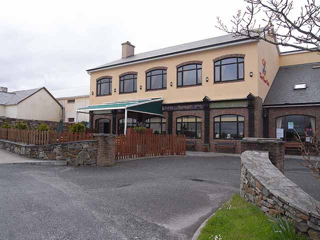 TobernadrinneyHoly well · 56 yd
 OmdocatedFairy fort / stone ringfort · 445 yd
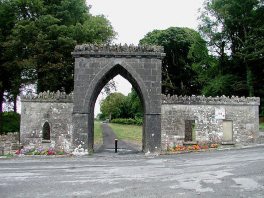 Rockingham Housegate lodge · 453 yd
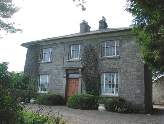 Ledford Parkhouse · 948 yd
 Erris BayBay · 1501 yd
 Boyle AbbeyHeritage attraction · 1.0 mi
 Bingham IslandIslet · 1.1 mi
 King William MemorialMonument · 1.1 mi
 Lough Key Forest ParkWood · 1.2 mi
 Trinity IslandIslet · 1.3 mi
 Western RedcedarWestern Redcedar · 1.5 mi
 Horse-chestnutHorse-chestnut · 1.6 mi
Other information
Photo: Credit not shown in the picture search · Rights wording not checked; contact us if this picture should be removed