
What is recorded here
On a terrace of rock-outcrop, and probably an early ecclesiastical site. Visible in 1995 as a D-shaped grass-covered enclosure (dims 27.5m E-W; 22.5m N-S) defined by the edge of the outcrop N-E (max. H 3m) and an earthen bank (Wth 4m; H 0.3-0.7m) elsewhere. The foundations of a mortared stone wall (RO006-083001-) and…
Read the whole record
From the National Monuments Service (Archaeological Survey of Ireland) record RO006-083004
Places near here
Photo credits
- Maker not stated on source page, www.thejournal.ie
- National Inventory of Architectural Heritage
- Maker not stated on source page, en.wikivoyage.org
- Maker not stated on source page, en.wikipedia.org
- Maker not stated on source page, monumentalireland.ie
- Real Group Photos / realboyle (Flickr account); individual photographer not stated, www.flickr.com
- abdallahh from Montréal, Canada, Wikimedia Commons · CC BY 2.0
- Maker not stated on source page, www.tiket.com
- Stephan van Helden, Wikimedia Commons · CC BY-SA 4.0
- Golfing in Ireland; photographer not stated, Source publisher
- Maker not stated on source page, www.youtube.com
 Fairy fort / stone ringfort in ErrisFairy fort / stone ringfort · 231 yd
Explorer Tom Fairy fort / stone ringfort in Erris swears by a superstition that says if you touch the stones you will trip over a…
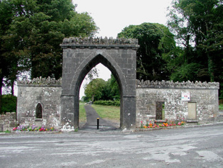 Rockingham HouseGate lodge · 444 yd
Explorer Tom Rockingham House in Warren Or Drum is basically a very posh doorstop pretending to be a castle. Repton probably…
 Tomb StoneHeadstone · 500 yd
Explorer Tom Tomb Stone in Erris is a headstone lying flat like it’s sunbathing, asking for prayers from nobody in particular. The…
 Earthwork in ErrisEarthwork · 638 yd
Explorer Tom Earthwork in Erris is a circular hole that thinks it’s still a fortress while just being a muddy dip. The fairies are…
 Fairy fort / stone ringfort in CarrickmoreFairy fort / stone ringfort · 847 yd
Explorer Tom Fairy fort / stone ringfort in Carrickmore hosted a love story where the guy ran away and left his hat on top of the…
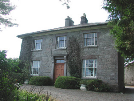 Ledford ParkHouse · 954 yd
Explorer Tom Ledford Park in Letfordspark has developed a deep suspicion of the postman lately. It thinks he’s stealing its…
 Abbey Park, Boyle GAAGAA ground · 1.0 mi
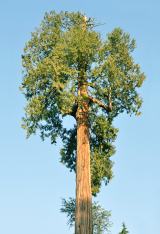 Western Redcedar1.5 mi
Explorer Tom Western Redcedar in County Roscommon would want 'Finally Tall Enough' on its tombstone because it spent centuries…
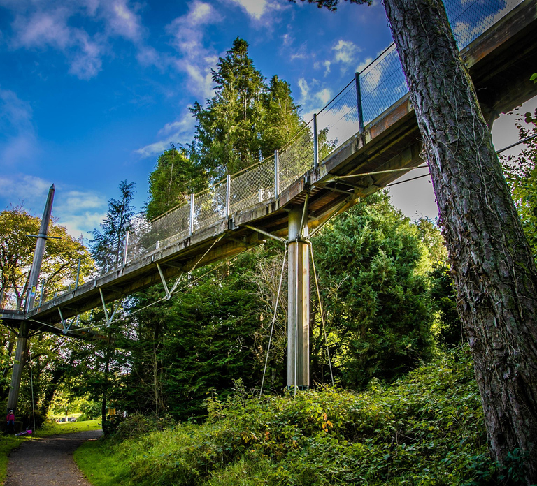 Lough Key Forest & Activity ParkPark · 1.6 mi
Explorer Tom Lough Key Forest & Activity Park is deeply suspicious of the postman, who once delivered a parcel of rocks to a tree.…
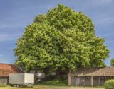 Horse-chestnut1.6 mi
Explorer Tom Horse-chestnut in County Roscommon was once a matchmaker for local couples who wanted to prove their love was as strong…
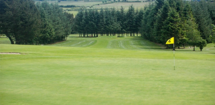 Boyle Golf ClubGolf course · 1.8 mi
 McDermott's CastleVisitor attraction · 1.9 mi
Explorer Tom McDermott's Castle is famous for a shortcut that isn't actually a shortcut, just a very confusing way to get lost in a…
More archaeology and monuments in County Roscommon · All of County Roscommon

What do you know about this place?Tap to add a comment or ask a question