What is recorded here
On a N-facing slope. An area of c. 13 ha contains a series of low grass-covered banks, scarps or stone spreads creating an irregular field pattern, but at the N end rectangular fields (dims. c. 100m x c. 50m) predominate. The enclosure (RO006-080----) and cashel (RO006-083004-) are within the field system, and Templenadriney church (RO006-083001-), Man-made underground passage (RO006-083005-) and holy well (RO006-083003-) are at its SW edge.
Compiled by: Michael Moore
Date of upload: 24 August 2010
The monument record does not grant public access. Check the route and ask the landowner before entering private land.
- What survives
- Recorded monument
Places near here
 TemplenadrineyChurch · 115 yd
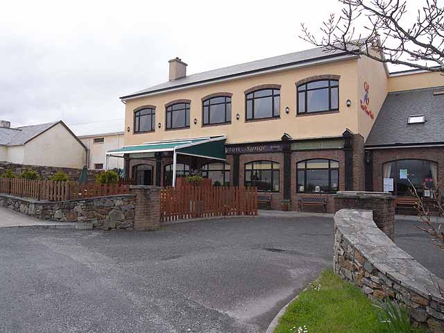 TobernadrinneyHoly well · 115 yd
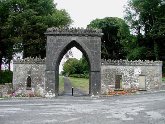 Rockingham Housegate lodge · 439 yd
 OmdocatedFairy fort / stone ringfort · 475 yd
 Erris BayBay · 1385 yd
 Bingham IslandIslet · 1.0 mi
 Boyle AbbeyHeritage attraction · 1.1 mi
 Lough Key Forest ParkWood · 1.2 mi
 King William MemorialMonument · 1.2 mi
 Trinity IslandIslet · 1.2 mi
 Western RedcedarWestern Redcedar · 1.5 mi
 Horse-chestnutHorse-chestnut · 1.6 mi