
What is recorded here
Towards the top of a N-facing slope. At the centre of cashel (RO006-086004-) there is a circular hut-site (int. diam. 9.6m E-W; 8.6m N-S) defined by a grass-covered stone spread (Wth 1-2m; max. H 0.3m) but with no recognisable entrance.
Compiled by: Michael Moore
Date of upload: 24 August 2010
The monument record does not grant public access. Check the route and ask the landowner before entering private land.
- What survives
- Recorded monument
Places near here
 Embanked enclosureFairy fort / stone ringfort · 255 yd
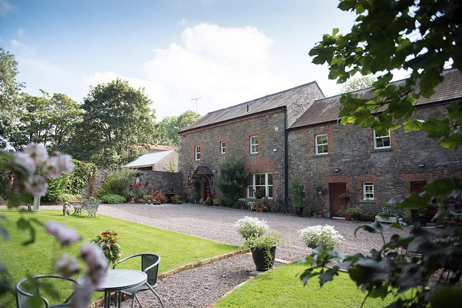 Enclosure in CarrickmoreEnclosure · 319 yd
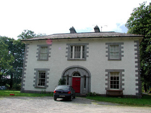 Carrigard Househouse · 942 yd
 TemplenadrineyChurch · 1266 yd
 Boyle AbbeyHeritage attraction · 1.3 mi
 King William MemorialMonument · 1.4 mi
 Erris BayBay · 1.4 mi
 Lough Key Forest ParkWood · 1.5 mi
 Bingham IslandIslet · 1.8 mi
 Trinity IslandIslet · 1.9 mi
 Western RedcedarWestern Redcedar · 1.9 mi
 Horse-chestnutHorse-chestnut · 2.0 mi
Other information
Photo: Credit not shown in the picture search · Rights wording not checked; contact us if this picture should be removed