What is recorded here
Two houses at Correal are marked on an estate map of 1730 in NLI (n 3947 p 3618 map 4). This one was not encountered.
Compiled by: Michael Moore
Date of upload: 24 August 2010
The monument record does not grant public access. Check the route and ask the landowner before entering private land.
- What survives
- Recorded monument
Places near here
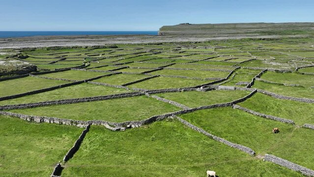 Field system in Ballygalda OR TrustField system · 971 yd
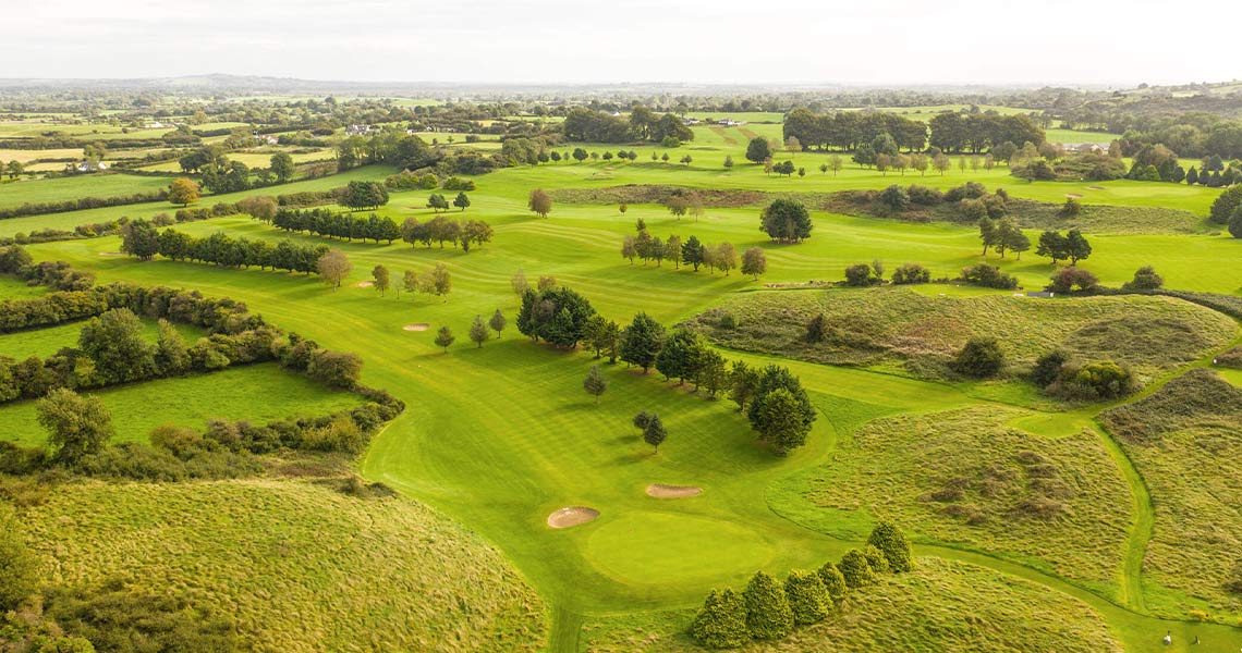 IndicatedFairy fort / earthen ringfort · 1148 yd
 CastleCastle, unclassified · 1690 yd
 Church (in Ruins)Church · 1.8 mi
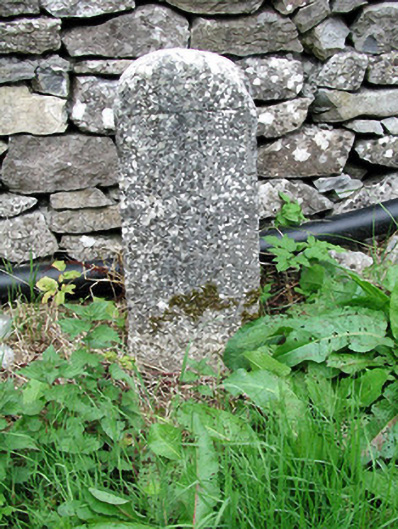 milestone/milepostmilestone/milepost · 1.8 mi
 Bolinree WoodForest · 2.3 mi
 Roscommon CastleCastle · 2.7 mi
 European YewEuropean Yew · 2.8 mi
 Sally IslandIslet · 4.5 mi
 Castle KellyCastle, tower house · 5.9 mi
 Mount MaryMountain / peak · 7.1 mi
 Site of Killomaine Grave YardArchaeological place · 9.7 mi