What is recorded here
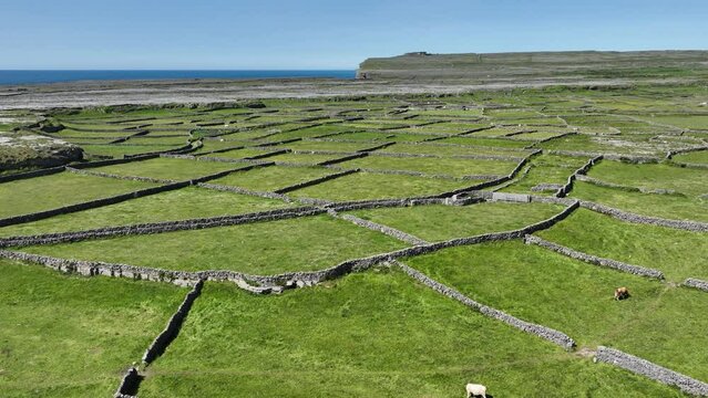
On the crest of a low-lying area to E. Visible as two sub-rectangular enclosures enclosing c. 4 ha, probably fields, on aerial photographs (GSIAP: M155-6). They are not visible at ground level in pasture in an area of c. 1.5 ha (c. 3.5 acres).
Compiled by: Michael Moore
Date of upload: 24 August 2010
The monument record does not grant public access. Check the route and ask the landowner before entering private land.
- What survives
- Recorded monument
Places near here
 Church (Site of)Church · 643 yd
 Embanked enclosureFairy fort / earthen ringfort · 860 yd
 CastleCastle, unclassified · 1146 yd
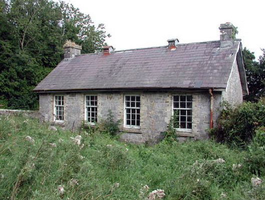 Saint Patrick's National Schoolschool · 1.3 mi
 Bolinree WoodForest · 2.0 mi
 KilnKiln, lime · 2.1 mi
 European Crab AppleEuropean Crab Apple · 2.4 mi
 Roscommon CastleCastle · 3.0 mi
 Sally IslandIslet · 4.5 mi
 Castle KellyCastle, tower house · 5.7 mi
 Mount MaryMountain / peak · 7.1 mi
 Inch IslandIsland · 9.7 mi
Other information
Photo: Credit not shown in the picture search · Rights wording not checked; contact us if this picture should be removed