
What is recorded here
Castle, unclassified in Ballinturly (athlone North By.) stands at the southern edge of a shifting turlough, where Richard Clifford’s home fell before 1596. Its chambers still show through grass and soil, locked inside a larger earthen ring that has watched the water rise and retreat for centuries. The castle disappeared from later maps, yet its shadow remains in the shape of the ground itself.
A castle belonging to Richard Clifford at Ballinturly had been destroyed by 1596 (Cronin 1980, 117) but it is not marked on the Strafford map of c. 1636 (Simington 1949, Athlone (462)), although the turlough is and Sir Charles Coote held a Quarter of land there amounting to 72 acres (ibid. 126). It is situated at the bottom of a N-facing slope and at the S edge of an E-W turlough. This is a rectangular grass-covered cairn (dims 19m N-S; 14m E-W; H 0.2-1.2m) with the outline of two chambers (dims c. 6m x c. 5m) defined by grass-covered banks (Wth c. 2.5m) with wall-faces occasionally visible. This is located in the NW corner of a subrectagular grass-covered enclosure (RO041-098002-) (dims 63.3m N-S; 45.3m E-W) defined by an earthen bank (Wth 4.5-5.7m; int. H 0.1-0.3m; ext. H 0.6-1.4m), and an outer fosse (Wth of top 5-6m; Wth of base 1.5m; D 0.1m at N to 0.7m at E) N-E-SW which is replaced by a drain (Wth c. 5m) SW-NW. There is an entrance (Wth 6m) at the centre of the S side.
Compiled by: Michael Moore
Date of upload: 24 August 2010
A castle at Ballinturly was held by Richard Clifford before its destruction by 1596; its absence on the c. 1636 Strafford map suggests it may have been abandoned or unremarkable by then.
The monument record does not grant public access. Check the route and ask the landowner before entering private land.
- What survives
- Recorded monument
Places near here
 Enclosure in Ballinturly (athlone North By.)Enclosure · 28 yd
 Church (Site of)Church · 542 yd
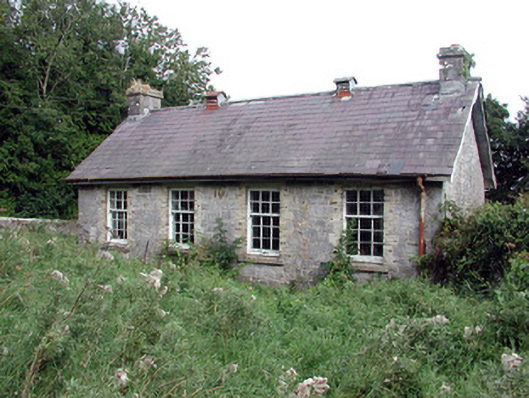 Saint Patrick's National Schoolschool · 1.5 mi
 aviary/dovecote/pigeon houseaviary/dovecote/pigeon house · 1.6 mi
 European Crab AppleEuropean Crab Apple · 1.9 mi
 Bolinree WoodForest · 2.5 mi
 Roscommon CastleCastle · 3.6 mi
 Sally IslandIslet · 3.9 mi
 Castle KellyCastle, tower house · 5.0 mi
 Site of Ballygar CastleArchaeological place · 6.3 mi
 Mount MaryMountain / peak · 6.5 mi
 Inch IslandIsland · 9.2 mi
Other information
Photo: Credit not shown · Copyright shown; no reuse licence shown