
What is recorded here
Church (Site of) is a church in Correal (athlone North By., Fuerty Ed), County Roscommon, Ireland. It probably served as a Chapel-of-Ease to Fuerty parish church, 3.5km to the NW, and appeared as a tower building on the Strafford map of c. 1636. The site sits on a gentle S-facing slope, preserves fragments of the N and E walls, and contains a rectangular enclosure with 8 rows of grave-markers and two disc quern fragments.
This is probably a Chapel-of-Ease to Fuerty parish church (RO039-063001-) c, 3.5km to the NW, and it is marked as a building with a tower on the Strafford map of c. 1636 (Simington 1949, Athlone (464)). It is located towards the bottom of a gentle S-facing slope, and described as the ruins of a church (Mason 1814-19, vol. 1, 406). Fragments of the base of the N wall (L 11.45m; T 0.75m; H 0.3-0.6m) and the adjacent E wall (ext. L 2.2m) with the possible N wall of a chancel (ext. L 1.2m) survive within a rectangular enclosure (RO041-019004-) (dims 39m E-W; 36.5m N-S) defined by an earthen bank at N (Wth 4.5m; int. H 0.05m; ext. H 0.2m) and W (Wth 3.8m; int. H 0.2m; ext. H 0.8m), a scarp (H 0.8m) at S and a N-S field wall at E. There are 8 rows of grave-markers (RO041-019002-) (dims c. 0.5m x 0.2m; H up to 0.4m) including one with a chamfered edge within and to the S and E of the church that are placed in rows c. 1.5m apart (dims 13m N-S; 11m E-W). There are two fragments of disc querns (RO041-019005-) at the location.
Compiled by: Michael Moore
Date of upload: 24 August 2010
The monument record does not grant public access. Check the route and ask the landowner before entering private land.
- What survives
- Recorded monument
Places near here
 Enclosure in Ballinturly (athlone North By.)Enclosure · 526 yd
 CastleCastle, unclassified · 542 yd
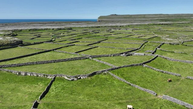 Field system in Ballygalda OR TrustField system · 643 yd
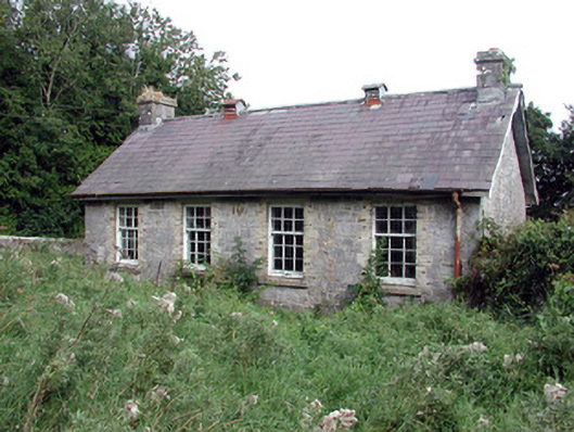 Saint Patrick's National Schoolschool · 1.3 mi
 aviary/dovecote/pigeon houseaviary/dovecote/pigeon house · 1.9 mi
 European Crab AppleEuropean Crab Apple · 2.0 mi
 Bolinree WoodForest · 2.2 mi
 Roscommon CastleCastle · 3.4 mi
 Sally IslandIslet · 4.2 mi
 Castle KellyCastle, tower house · 5.3 mi
 Mount MaryMountain / peak · 6.8 mi
 Inch IslandIsland · 9.3 mi
Other information
Photo: Credit not shown in the picture search · Rights wording not checked; contact us if this picture should be removed