
What is recorded here
This is an early ecclesiastical site attributed to St Patrick, whose first deacon was Justus (Kelly 1861-4), and the parish church of Fuerty listed as Fidard in the ecclesiastical taxation of Elphin in 1306 (Cal. doc. Ire. vol. 5, 224). It is situated on a slight knoll, and the ruins of a Church of Ireland church stand within a small graveyard (RO039-063002-) (dims 53m E-W; 40m N-S) defined by masonry walls, although the graveyard has been extended to the E (dims. 100m E-W; 40m N-S). Two sandstone cross-slabs (RO039-063003-; RO039-063004-) are displayed on the tower of the roofless church, and another lies in the graveyard (Wakeman 1890-1, 357-8; Crawford 1913; 160; FitzGerald 1910-12b; Macalister 1945, vol. 2, 14, 15; Herity et al. 1997, 117-8).
One slab (RO039-063003-) (dims 0.95m x 0.7m) has an incised two-lined ringed cross, a fish and the inscription 'or ar anmain aidacain' - pray for the soul of Aidacain. The other slab (RO039-063004-) (dims 0.9m x 0.7m) has an incised five-line cross with expanded terminals and the inscription 'or ar mór'. Fragments of a fourth cross-slab (RO039-063005-) (dims 0.3m x 0.15m) with a swastika motif were acquired by NMI in 1984 (Siggins 1988, 55-6), and a grave-marker (RO039-063009-) in the graveyard has a simple incised Maltese cross (Corlett 1998, 137). Archaeological testing (05E1414) immediately S of the graveyard failed to produce any related archaeological material (Casey 2009).
Compiled by: Michael Moore
Date of upload: 24 August 2010
The church at Fuerty is attributed to St Patrick and dates to the early medieval period; it is dedicated to St Justus, his first deacon, and was known as Fidard in the 1306 taxation records of Elphin. Its significance lies in its early Christian association and historical continuity in the region.
The monument record does not grant public access. Check the route and ask the landowner before entering private land.
- What survives
- Recorded monument
Places near here
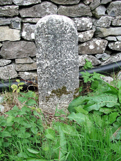 milestone/milepostmilestone/milepost · 93 yd
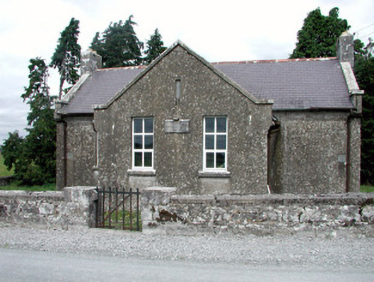 Fuerty National Schoolschool · 270 yd
 Diarmad and Grainne's BedArchaeological place · 720 yd
 CastleCastle, unclassified · 1391 yd
 Field system in Ballinlig (athlone North By., Fuerty Ed)Field system · 1433 yd
 IndicatedHouse, fortified house · 1735 yd
 European YewEuropean Yew · 1758 yd
 European ashEuropean ash · 1.0 mi
 Roscommon CastleCastle · 3.5 mi
 Sally IslandIslet · 3.6 mi
 Mount MaryMountain / peak · 5.7 mi
 Site of Killomaine Grave YardArchaeological place · 7.9 mi
Other information
Photo: Credit not shown in the picture search · Rights wording not checked; contact us if this picture should be removed