
What is recorded here
Detached three-bay single-storey with dormer attic accommodation house, built c.1900. Pitched slate roof having rendered chimneystack, gable copings and cast-iron rainwater goods. Rendered walls with plinth to side (east, west) elevations. Square-headed window openings having rendered sills and two-over-two pane…
Read the whole record
From the Buildings of Ireland (National Inventory of Architectural Heritage) record 20910816
Places near here
Photo credits
- Mike Searle, Geograph · CC BY-SA 2.0
- Maker not stated on source page, www.dreamstime.com
- National Inventory of Architectural Heritage
- Maker not stated on source page, www.pac.ru
- Mike Searle, Wikimedia Commons · CC BY-SA 2.0
- Jonathan Thacker, Geograph · Creative Commons Attribution-ShareAlike 2.0
- Maker not stated on source page, www.alamy.com
- Maker not stated on source page, en.wikipedia.org
- Maker not stated on source page, www.pinterest.com
- Maker not stated on source page, commons.wikimedia.org
 Fort RobertArchaeological place · 727 yd
Explorer Tom Fort Robert is an archaeological site where a prophecy said a dragon would land here in 1994, but it never did and…
 Fairy fort / earthen ringfort in LissacroneenFairy fort / earthen ringfort · 1046 yd
Explorer Tom Fairy fort in Lissacroneen would have 'Lived Large' written on its tombstone, because it has managed to stay heavily…
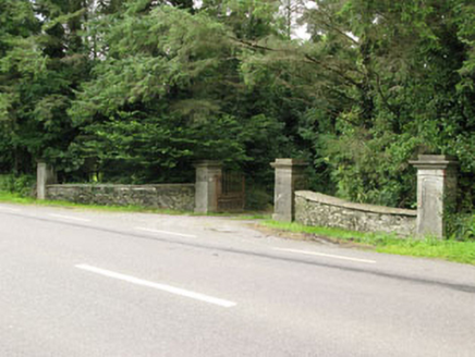 Carrigmore HouseGates/railings/walls · 1744 yd
Explorer Tom Carrigmore House has an entrance gateway that screams ‘look at me’ with its carved limestone details, probably because…
 farmyard complex1.3 mi
Explorer Tom Farmyard complex in Phale Lower is sprawling around since 1880 with a farmhouse that looks like it’s seen better days.…
 Phale CourtCountry house · 1.4 mi
Explorer Tom Phale Court was rebuilt after a fire but still thinks it’s got some medieval castle bones in there, which is bold. It’s…
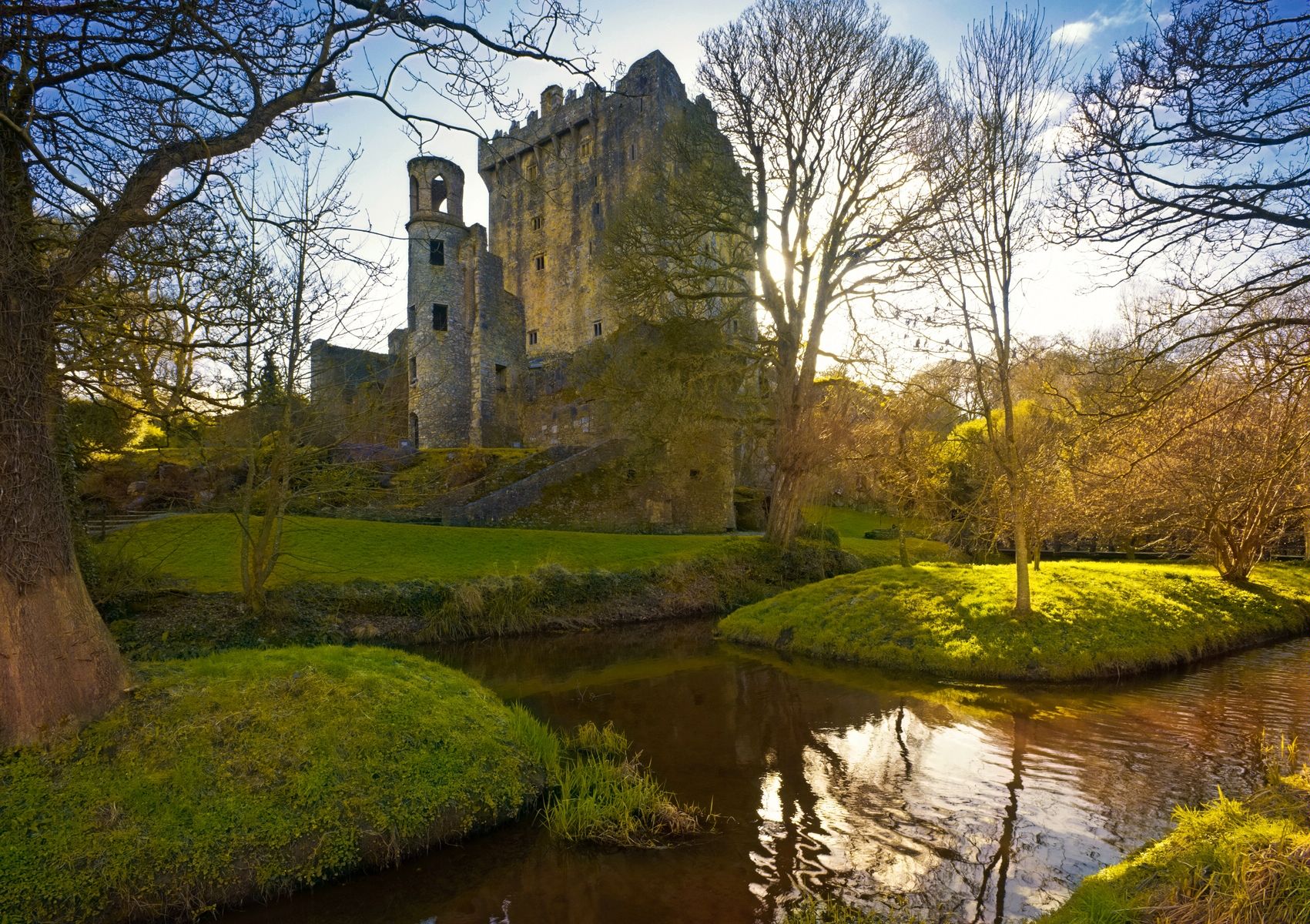 Phale Castle (Site of)Castle, Anglo-Norman masonry castle · 1.5 mi
Explorer Tom Phale Castle in Phale Upper was the centre of a feud where two families argued over who owned the view, and eventually…
 Cloigtheach (Round Tower)Round tower · 1.5 mi
Explorer Tom Cloigtheach in Sleenoge has a unique hexagonal base that makes it look like it was built by someone who really liked…
 St Bartholomew's Church of Ireland ChurchChurch/chapel · 1.5 mi
Explorer Tom St Bartholomew's in Sleenoge has a round tower that looks like it’s been standing there since the dawn of time. The…
 Church in SleenogeChurch · 1.5 mi
Explorer Tom Church in Sleenoge is so mysterious right now that even the archive department has given up on uploading its details.…
 St. Mary's GAA pitchGAA ground · 2.0 mi
 CastleCastle, unclassified · 2.2 mi
Explorer Tom Castle in Castletown belonged to the McCarthys of Gleannacroim before Cromwell’s soldiers torched it all down. Now…
 Mapped cemeteryCemetery · 2.7 mi
Explorer Tom Mapped cemetery in County Cork has a secret talent for making you feel like you’re intruding on a private conversation…
More historic places in County Cork · All of County Cork

What do you know about this place?Tap to add a comment or ask a question