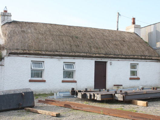
Places near here
Photo credits
- Andreas F. Borchert, Wikimedia Commons · CC BY-SA 4.0
- Kenneth Allen, Geograph · CC BY-SA 2.0
- Kenneth Allen, Wikimedia Commons · CC BY-SA 2.0
- James Emmans, Geograph · CC BY-SA 2.0
- Picture: Think Business
- Picture: Barrack Hill Town Park
 Graveslab in CloncaGraveslab · 856 yd
Explorer Tom Graveslab in Clonca is a plain, rectangular slab lying on the ground at the east end of the church. It measures 2.12m long and carries ten regular lines naming Charles Davenport esquire and his wife Margaret, who died in 1697.
 Clonca Old ChurchChurch · 858 yd
Explorer Tom Clonca Old Church is a proper 17th-century survivor, still standing tall after serving until 1827. It’s built from the bones of an even older church, so those punch-dressed stones aren’t just decoration; they’re archaeological archaeology. Stand back and let the quiet ruin sink in.
 Magnus and Fergus GraveslabGraveslab · 859 yd
Explorer Tom Magnus and Fergus Graveslab is a 16th-century masterpiece tucked right into the wall of Clonca church. The carving includes a hurley stick and ball, which feels weirdly modern for an old tombstone. It’s basically someone’s pre-TikTok flex, proving people always loved showing off their hobbies.
 St. Congal's Temperance HallChurch hall/parish hall · 944 yd
Explorer Tom Here in Dunross, we have a 1891 gem with some seriously fancy yellow brickwork that really makes the place pop. It’s not just about the architecture, though; it’s been the heart of local social life for over a century now.
 McGrory'sHotel · 1569 yd
Explorer Tom McGrory’s in Culdaff looks like it’s been standing there since the last glacial period on Malin Road. Check if the heating works before you commit to staying the night, trust me on this one. Give it a pat on the way past, it's had a long life.
 McGuinness’Pub · 1666 yd
Explorer Tom McGuinness’ in Culdaff Main Street probably has a sign that says 'No Dogs Except This One,' showing clear favoritism. I bet the owner knows every dog in the village by name and will scold yours for being bad manners. Bring wellies and low expectations, leave delighted.
 CuldaffOfficial bathing water · 1.6 mi
Explorer Tom Culdaff Beach looks as if three pieces of the map agreed to meet for tea: dunes to the west, two rock outcrops to the southeast, and the Culdaff River to the northwest. The sand has quite a supporting cast. This protected coast deserves a gentle visit.
 CastleCastle, unclassified · 2.1 mi
Explorer Tom Castle in Carthage may survive only as shapeless stone mounds on a promontory. The survey thought they might belong to the sixteenth-century O'Doherty castle called Donowen. A wall closed the landward side, while another guarded a sea approach. Those defences are recorded; the exact shape of the lost castle is not.
 Tremone BayBeach / strand · 3.8 mi
Explorer Tom Tremone Bay has been keeping an icy secret in its rocks. Geological Survey Ireland records debris dropped by ancient ice in the bedrock at White Strand’s northwest end, roughly 590 to 570 million years old. I cannot blame the beach for looking smug; most places would brag about a history half that long.
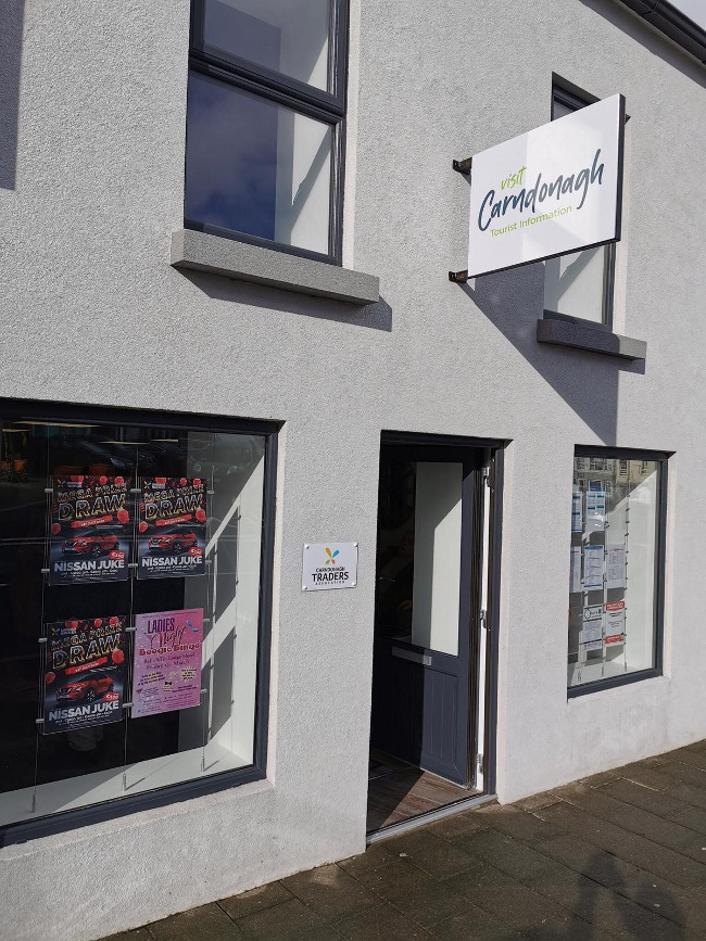 Visit CarndonaghVisitor information · 4.1 mi
Explorer Tom Visit Carndonagh in County Donegal bragged about surviving a storm that only had three waves, but it told the story for hours. Spot the oldest stone and give it a name, preferably one involving a pirate.
 Barrack Hill Community GardensGarden · 4.1 mi
Explorer Tom Follow the growers on Barrack Hill and you will find sixteen raised beds and three polytunnels. One starts the seedlings; the other two keep things growing. I could claim to know their secret for a good tomato, but the gardeners would catch me bluffing before I got through the gate. These are working plots, so ask the committee before going in.
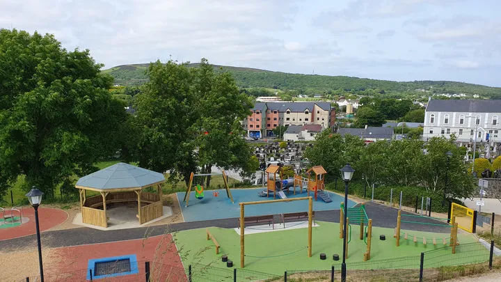 Barrack Hill Town Park PlaygroundChildren's playground · 4.1 mi
Explorer Tom At Barrack Hill, little legs get the climbing frames, swings, balance beams and monkey bars. The roundabout was designed to include more children, and older ones have their own obstacle trail nearby. If I were seven, I would call the monkey bars a test of courage. If I were a parent, I would be looking for the covered shelter. Carndonagh's park committee says local families helped shape the refurbished playground, and the older children's activity area reopened in 2023.
More historic places in County Donegal · All of County Donegal

What do you know about this place?Tap to add a comment or ask a question