What is recorded here
Not marked on any OS ed. Known locally as 'St Patrick's Well' (local information). It has been levelled in. Situated in low-lying marshy ground on the shore of Lough Oughter. A large enclosure known as 'The Graveyard Field' is situated c. 30m SW of well (CV019-031----).
From the National Monuments Service (Archaeological Survey of Ireland) record CV019-031
The monument record does not grant public access. Check the route and ask the landowner before entering private land.
- What survives
- Recorded monument
Places near here
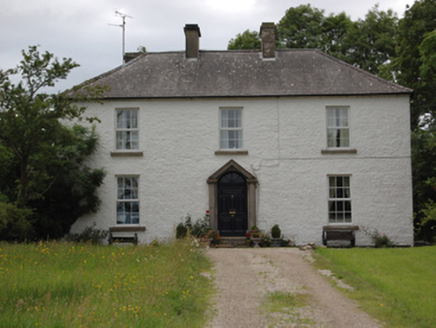 Lake View HouseHouse · 1085 yd
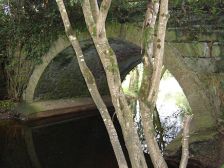 Historic buildingOfficially recorded historic building · 1311 yd
 Cloughoughter CastleIsland castle ruin · 1655 ydEnclosure in Drummany RahanEnclosure · 1759 yd
 Court tomb in GartnanoulCourt tomb · 1760 ydDerinish MoreMountain / peak · 1.0 miWoodenhouse BayBay · 1.0 mi
 Clogh Oughter CastleCastle, Anglo-Norman masonry castle · 1.1 mi
 Lough OughterLake and island landscape · 1.2 miDerrynaMountain / peak · 1.4 mi
 Pedunculate Oak1.5 miPedunculate Oak1.7 mi
Pictures: National Inventory of Architectural Heritage; Oliver Dixon, Wikimedia Commons · CC BY-SA 2.0; NTF30, Wikimedia Commons · CC BY-SA 4.0; Adam Simpson, Geograph · CC BY-SA 2.0; Sarah777 at English Wikipedia, Wikimedia Commons · Public domain; Algirdas at Lithuanian Wikipedia, Wikimedia Commons · Public domain
More archaeology and monuments in County Cavan · All of County Cavan
What do you know about this place?