What is recorded here
Enclosure in Drummany Rahan is an enclosure in County Cavan, Ireland.
From the National Monuments Service (Archaeological Survey of Ireland) record CV020-039
The monument record does not grant public access. Check the route and ask the landowner before entering private land.
- What survives
- Recorded monument
Places near here
DerrynaMountain / peak · 932 yd Clogh Oughter CastleCastle, Anglo-Norman masonry castle · 1279 ydBlackstick BridgeBridge · 1570 ydHistoric buildingOfficially recorded historic building · 1723 ydHoly well in EonishHoly well · 1758 ydDerinish MoreMountain / peak · 1.1 miCloughoughter CastleIsland castle ruin · 1.2 miBuck IslandIslet · 1.3 miInishmuckIsland · 1.4 miWoodenhouse BayBay · 1.7 miLough OughterLake and island landscape · 1.8 miCourt tomb in GartnanoulCourt tomb · 1.9 mi
 Clogh Oughter CastleCastle, Anglo-Norman masonry castle · 1279 yd
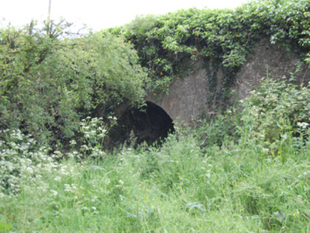 Blackstick BridgeBridge · 1570 yd
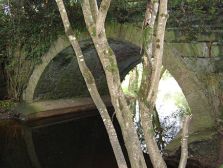 Historic buildingOfficially recorded historic building · 1723 ydHoly well in EonishHoly well · 1758 ydDerinish MoreMountain / peak · 1.1 mi
 Cloughoughter CastleIsland castle ruin · 1.2 miBuck IslandIslet · 1.3 miInishmuckIsland · 1.4 miWoodenhouse BayBay · 1.7 mi
 Lough OughterLake and island landscape · 1.8 mi
 Court tomb in GartnanoulCourt tomb · 1.9 mi
Pictures: Adam Simpson, Geograph · CC BY-SA 2.0; National Inventory of Architectural Heritage; Oliver Dixon, Wikimedia Commons · CC BY-SA 2.0; Sarah777 at English Wikipedia, Wikimedia Commons · Public domain; NTF30, Wikimedia Commons · CC BY-SA 4.0
More archaeology and monuments in County Cavan · All of County Cavan
What do you know about this place?