
What is recorded here
Located c. 5m S of a NE-SW road and on the E side of the N-S Castlerogy stream, which is c. 65m distant. A crude setting of stones defines a small well (dims 0.7-0.9m; max. H 1.2m), known locally as St Patrick's Well, beneath a large tree. The well is now dry and no longer venerated but the dedication to St Patrick…
Read the whole record
From the National Monuments Service (Archaeological Survey of Ireland) record LE022-015
Places near here
Photo credits
- Maker not stated on source page, www.echolive.ie
- Maker not stated on source page, letsgowiththechildren.co.uk
- Maker not stated on source page, monumentalireland.ie
- Maker not stated on source page, www.dreamstime.com
- Maker not stated on source page, commons.wikimedia.org
- Willow, Wikimedia Commons · CC BY 2.5
- Maker not stated on source page, en.wikipedia.org
- Golfing in Ireland; photographer not stated, Source publisher
- National Inventory of Architectural Heritage
- Kenneth Allen, Geograph · CC BY-SA 2.0
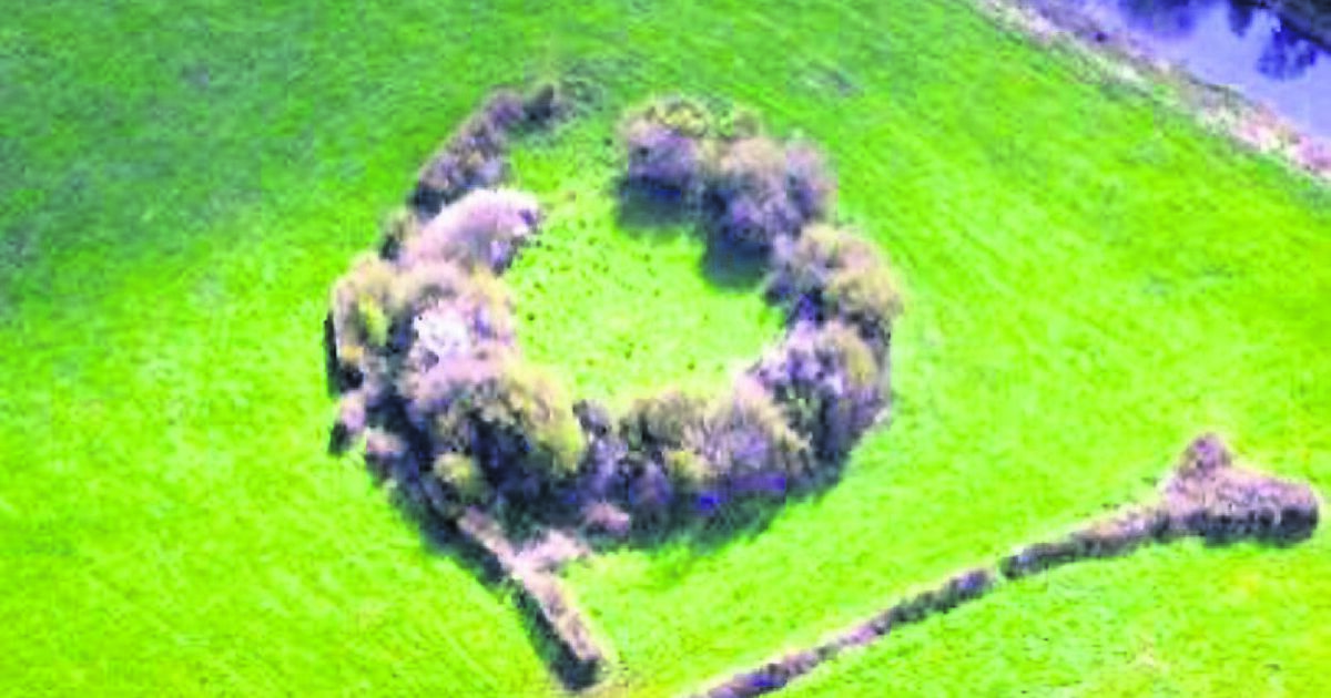 Fairy fort / earthen ringfort in CromlinFairy fort / earthen ringfort · 463 yd
Explorer Tom Fairy fort / earthen ringfort in Cromlin started because two lads bet on who could dig deeper. The winner got a pint…
 Fairy fort / earthen ringfort in DernasmallanFairy fort / earthen ringfort · 497 yd
Explorer Tom Fairy fort / earthen ringfort in Dernasmallan means 'Place Where I Stopped Eating'. Locals swear it tastes like regret…
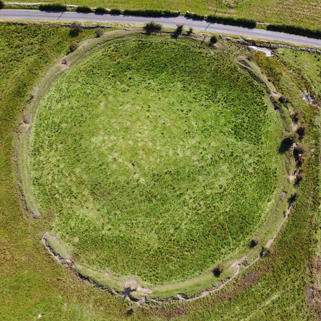 Fairy fort / earthen ringfort in Drumdartan GlebeFairy fort / earthen ringfort · 1172 yd
Explorer Tom This Drumdartan Glebe fort has a tunnel to the pub, if you believe the tall tales. Four trees stand guard on its bank…
 Fairy fort / ringfort in CallowhillFairy fort / ringfort · 1.0 mi
Explorer Tom Fairy fort / ringfort in Callowhill is mostly gone, replaced by a quarry that thinks it’s fancy. Its family tree is a…
Fairy fort / earthen ringfort in CallowhillFairy fort / earthen ringfort · 1.1 miExplorer Tom Fairy fort / earthen ringfort in Callowhill is so perfectly circular it makes me feel like I’m measuring with a ruler.…
 Mapped cemeteryCemetery · 1.3 mi
Explorer Tom There was a dance held at this Mapped cemetery in County Leitrim that went so far that one person ended up stuck in a…
 European ash1.3 mi
Explorer Tom European Ash has a secret talent for looking impressive while doing absolutely nothing at all. It stands tall in…
 Mapped graveyardGraveyard · 1.4 mi
Explorer Tom Mapped graveyard in County Leitrim has an imaginary twin across the sea that sends it postcards. The letters are always…
 Aughnasheelin GAAGAA ground · 1.6 mi
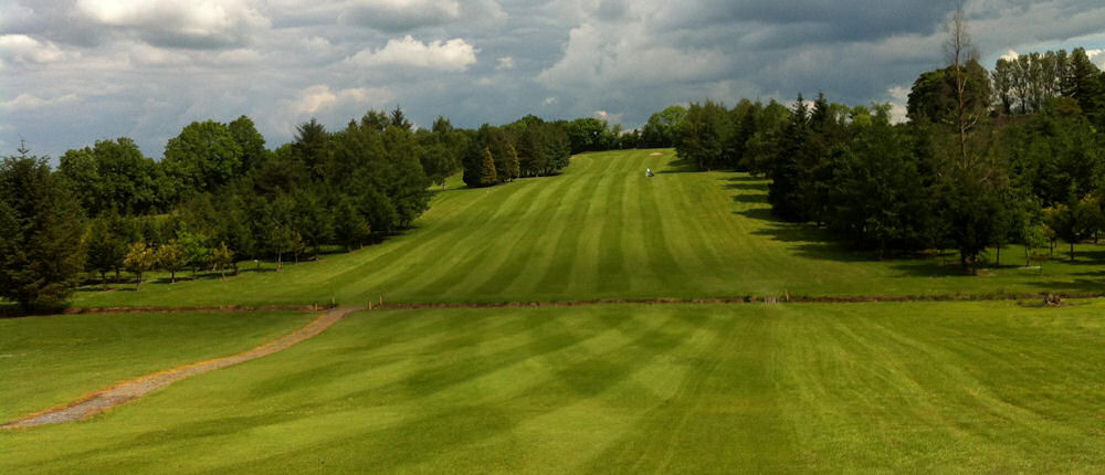 Ballinamore Golf ClubGolf course · 1.8 mi
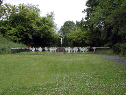 Convent of MercyGraveyard/cemetery · 2.3 mi
Explorer Tom Convent of Mercy in Aghadark is using cast-iron grave markers because stone was too heavy for its ego to carry on its…
 school2.4 mi
Explorer Tom School in Stradermot had a bishop who refused to visit because he was busy. Now it’s a crèche, so the kids are the real…
More archaeology and monuments in County Leitrim · All of County Leitrim

What do you know about this place?Tap to add a comment or ask a question