
What is recorded here
Large oval area (int. dims. 104m N-S; 58.8m E-W) enclosed by a low earthen bank, the outer face of which has been modified and incorporated into the field boundary. An earlier report (OPW 1969) noted a shallow depression at the internal foot of the bank from SSW-N-SSE which may indicate the presence of an internal fosse. Original entrance not recognisable. The site is traditionally associated with the pagan idol Crom Cruaich (local information). (Dalton 1921, 23-67)
The above description is derived from the published 'Archaeological Inventory of County Cavan' (Dublin: Stationery Office, 1995). In certain instances the entries have been revised and updated in the light of recent research.
Date of upload/revision: 22 December 2008
Derryragh Fort is a large oval-shaped early-medieval ringfort, likely dating to between the 5th and 10th centuries AD, characterized by a low earthen bank. Local tradition associates such sites with fairy folklore, and the name "Derryragh" may derive from "Dairi Ragha," suggesting a connection to a legendary or sacred grove.
The monument record does not grant public access. Check the route and ask the landowner before entering private land.
- What survives
- Recorded monument
Places near here
 Giants GraveArchaeological place · 585 yd
 IndicatedCastle, tower house · 1352 yd
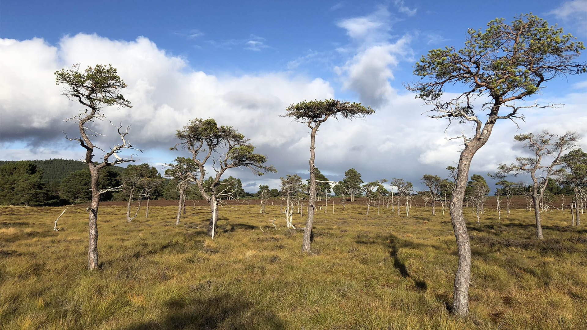 Derrycassan Bog WoodlandWood · 1.1 mi
 Saint Patrick's Catholic Churchchurch/chapel · 1.1 mi
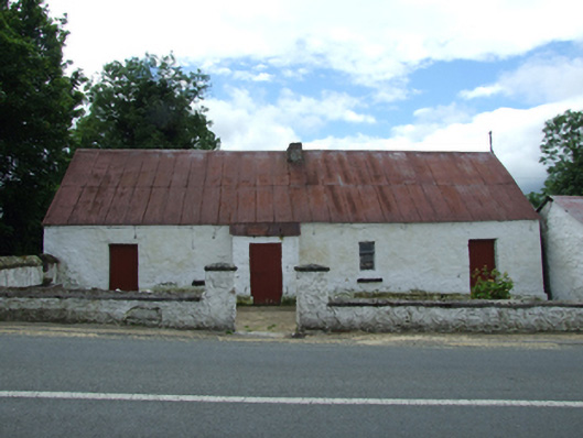 farm housefarm house · 1.1 mi
 Tober PatrickHoly well · 1.2 mi
 Common LimeCommon Lime · 1.3 mi
 Saint Mogue's IslandIslet · 1.3 mi
 CastleCastle, ringwork · 1.4 mi
 ToberlyanHoly well · 1.5 mi
 DerrynigginMountain / peak · 1.6 mi
 Killycluggin StoneVisitor information · 1.6 mi
Other information
Photo: Credit not shown in the picture search · Rights wording not checked; contact us if this picture should be removed