What is recorded here
Situated at the base of a slope. A large slab, 1.6m long and 1.15m high, leans against an upright stone, 1.35m long and 0.85m high, at right angles to its southern end. A third slab rests against the leaning stone and to the N of the group there is a prostrate stone. Site may be largely natural in origin. (de Valera and Ó Nualláin 1972, 138, No. 5)
The above description is derived from the published 'Archaeological Inventory of County Cavan' (Dublin: Stationery Office, 1995). In certain instances the entries have been revised and updated in the light of recent research.
Date of upload/revision: 22 December 2008
The monument record does not grant public access. Check the route and ask the landowner before entering private land.
- What survives
- Recorded monument
Places near here
 Derryragh FortHilltop enclosure · 207 yd
 Giants GraveArchaeological place · 723 yd
 IndicatedCastle, tower house · 1505 yd
 Saint Patrick's Catholic Churchchurch/chapel · 1682 yd
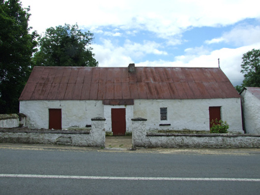 farm housefarm house · 1686 yd
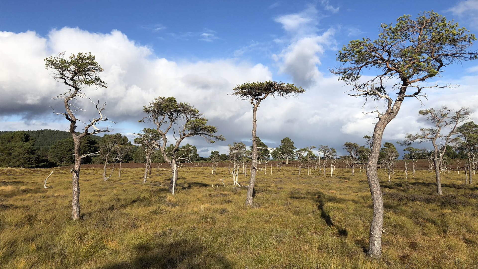 Derrycassan Bog WoodlandWood · 1724 yd
 Tober PatrickHoly well · 1.1 mi
 Common LimeCommon Lime · 1.3 mi
 Saint Mogue's IslandIslet · 1.3 mi
 CastleCastle, ringwork · 1.5 mi
 Killycluggin StoneVisitor information · 1.5 mi
 DerrynigginMountain / peak · 1.6 mi