What is recorded here
Five centuries of rain and root-work have sanded the edges of Drumdartan until the fort reads as a breathing hill rather than a made thing. The grassy platform still holds its shape, twenty-eight metres across, with a shallow ditch and a faint outer ridge that hint at human hands. The four mature trees planted along the northern bank mark the oldest living boundary, their roots tightening the soil around what may have been a home, a shrine or a boundary for the fairies. To walk its rim at dusk is to measure how much of human making can disappear into landscape while still resisting forgetting.
Located on a shelf of a gentle E- and S-facing slope with the ravine of a N-S stream c. 30m to the E. This is a grass-covered subcircular platform (dims 28m E-W; 25m N-S) defined by an earthen bank (at N: Wth 3m; int. H 0.8m; ext. H 0.7m) planted with four mature deciduous trees WNW-NE which is reduced to a scarp (H 1.2m at W to 2.2m at S) elsewhere, and an external fosse (Wth of top 5-8m; Wth of base 1.5-3m; D 0.3-0.7m) S-W-NE which is reduced to a berm (Wth 4m) NE-S. The original entrance is not identified and there are traces of an outer bank (Wth 4-5m; H 0.3-0.5m) SSE-WNW.
The above description is derived from 'The Archaeological Inventory of County Leitrim' compiled by Michael J. Moore (Dublin: Stationery Office, 2003). In certain instances the entries have been revised and updated in the light of recent research.
Date of upload: 23 September 2008
The monument record does not grant public access. Check the route and ask the landowner before entering private land.
- What survives
- Recorded monument
Places near here
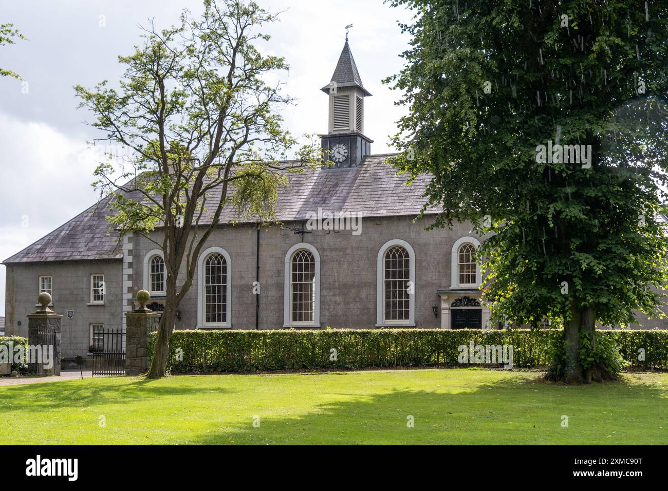 Site of Dernasmallan churchRuins · 1018 yd
 Cromlin Bridge WoodWood · 1101 yd
 European ashEuropean ash · 1751 yd
 IndicatedEnclosure · 1754 yd
 DrumbadMountain / peak · 1.2 mi
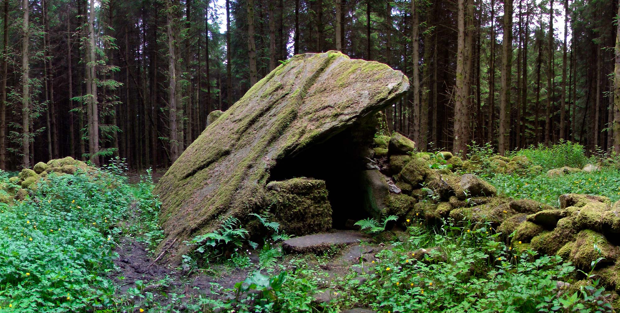 Druid's AltarArchaeological place · 1.3 mi
 Turf IslandIsland · 2.0 mi
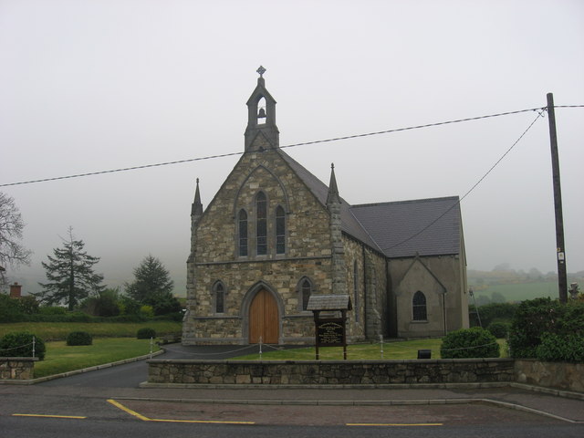 Church in OughteraghChurch · 2.1 mi
 Crane IslandIslet · 2.2 mi
 DrumgownaghMountain / peak · 2.9 mi
 CastleCastle, tower house · 3.4 mi
 CastleforeCastle, tower house · 3.9 mi