What is recorded here
According to the terrier or commentary of the Down Survey (1656-8) map of Fenagh parish Duffiagh O’Duiganane owned 163 acres (Nos 71, 71a) at Drumeany (Drumany) but most of this land was in timber. A castle on the property is not mentioned, but most of the land in Fenagh parish was then owned by members of the O’Duignan family who were historians and ollamhs (teachers) to the Mac Raghnall of Conmaicne and other Gaelic families in north Connaught and north Leinster during the Middle Ages (MacNamee 1954, 630). Drumany castle is now in Corragoly townland on a slight rise in an undulating, low-lying landscape. A fragment of a low vault of mortared limestone survives (Wth 4.5m; L 1.56m; H 1.9m). For the Down Survey map of the part of Fenagh parish in Mohill barony see this web-page accessed on 13/01/2017: http://downsurvey.tcd.ie/down-survey-maps.php#bm=Leitrim&c=Leitrim&p=Finagh
The above description is derived from 'The Archaeological Inventory of County Leitrim' compiled by Michael J. Moore (Dublin: Stationery Office, 2003).
According to the terrier or commentary of the Down Survey (1656-8) map of Fenagh parish Duffiagh O’Duiganane owned 163 acres (Nos 71, 71a) at Drumeany (Drumany) but most of this land was in timber. A castle on the property is not mentioned, but most of the land in Fenagh parish was then owned by members of the O’Duignan family who were historians and ollamhs (teachers) to the Mac Raghnall of Conmaicne and other…
From the National Monuments Service (Archaeological Survey of Ireland) record LE024-029
The monument record does not grant public access. Check the route and ask the landowner before entering private land.
- What survives
- Recorded monument
Places near here
CastleforeCastle, tower house · 1297 ydBuck IslandIsland · 1.2 miCrane IslandIslet · 1.2 mi Annadale HouseCountry house · 2.3 miSaint Catherine's Church (Fenagh)Church/chapel · 2.5 miCastle JohnCastle · 2.5 miGraveyard2.5 miFinn McCool's MonumentArchaeological place · 3.2 miEuropean ash3.7 miDrumbadMountain / peak · 3.9 miCromlin Bridge WoodWood · 4.0 miSliabh an IarainnMountain / peak · 5.3 mi
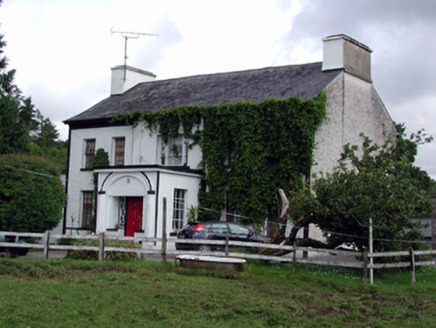 Annadale HouseCountry house · 2.3 mi
 Saint Catherine's Church (Fenagh)Church/chapel · 2.5 miCastle JohnCastle · 2.5 mi
 Graveyard2.5 mi
 Finn McCool's MonumentArchaeological place · 3.2 mi
 European ash3.7 miDrumbadMountain / peak · 3.9 miCromlin Bridge WoodWood · 4.0 mi
 Sliabh an IarainnMountain / peak · 5.3 mi
Pictures: National Inventory of Architectural Heritage; Fifiheavey, Wikimedia Commons · CC BY-SA 4.0; John M, Geograph · CC BY-SA 2.0; Willow, Wikimedia Commons · CC BY 2.5; Pampuco, Wikimedia Commons · CC BY-SA 4.0
More castles and forts in County Leitrim · All of County Leitrim
What do you know about this place?