Places near here
Photo credits
- Willow, Wikimedia Commons · CC BY 2.5
- Bing image result, image search
- National Inventory of Architectural Heritage
- Golfing in Ireland; photographer not stated, Source publisher
- Oliver Dixon, Geograph · CC BY-SA 2.0
- Pampuco, Wikimedia Commons · CC BY-SA 4.0
- Grose, Francis, 1731?-1791; Ledwich, Edward, 1738-1823, continuator, Wikimedia Commons · Public domain
- Rod Allday, Wikimedia Commons · CC BY-SA 2.0
- John Darcy, Wikimedia Commons · CC BY-SA 2.0
- Sawyer777, Wikimedia Commons · CC BY-SA 4.0
- Gillaween, Wikimedia Commons · CC BY-SA 4.0
 European ash4 yd
Explorer Tom European Ash has a secret talent for looking impressive while doing absolutely nothing at all. It stands tall in…
 Aughnasheelin GAAGAA ground · 1.4 mi
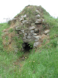 sweat house1.9 mi
Explorer Tom Sweat house in Knockacullion is where Irish people went to sweat out their rheumatism without complaining too loudly.…
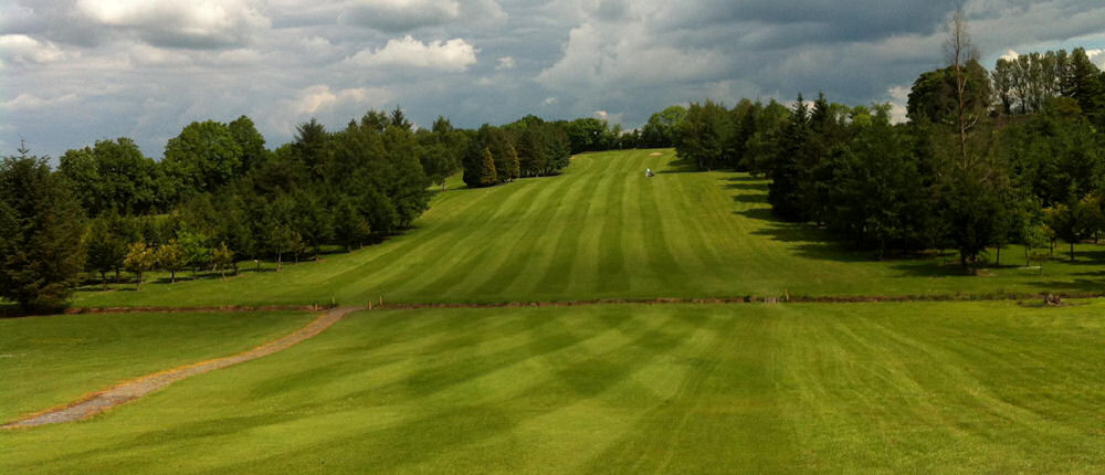 Ballinamore Golf ClubGolf course · 2.4 mi
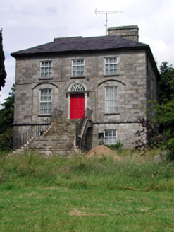 Aghacashel HouseCountry house · 2.7 mi
Explorer Tom Aghacashel House in Aghacashel is so austere and solid that it probably takes its own fox sightings very seriously as a…
 BencroyMountain / peak · 3.5 mi
Explorer Tom Bencroy’s favourite song is definitely 'Bohemian Rhapsody' because it has too many voices and none of them can agree on…
 Sliabh an IarainnMountain / peak · 4.1 mi
Explorer Tom Sliabh an Iarainn calls itself the iron mountain and has the old workings to back up the name. It rises 585 metres east…
 Castle JohnCastle · 5.2 mi
Explorer Tom Castle John has a superstition that says if you don’t bow to it first, your shoelaces will untie themselves for a week.…
 Parke's CastleVisitor attraction · 22 mi
Explorer Tom Parke's Castle has very strong opinions on modern buildings, specifically that they all look like giant plastic toys…
 CastleCastle, tower house · 22 mi
Explorer Tom Castle in Kilmore would win the county fair for best dressed, even if it’s missing its hat. O’Rourke blew it up himself…
 Queen Medb: RathcroghanLegend location · 26 mi
Explorer Tom Queen Medb: Rathcroghan is where the Táin starts turning a quarrel about a bull into an epic. Medb had a royal seat…
 The Mórrígan: OweynagatLegend location · 27 mi
Explorer Tom The Mórrígan: Oweynagat is called the Cave of Cats, which fooled me into expecting a very ordinary sort of trouble.…
More archaeology and monuments in County Leitrim · All of County Leitrim

What do you know about this place?Tap to add a comment or ask a question