What is recorded here
In grassland on just off top of E-W ridge on N facing slope with good views from W through N to E. Castle (TS066-066----) 208m to NNE and church (TS066-068001-) 250m to SE. Natural spring well with partial evidence of a stone surround now covered in thorn bushes making examination impossible. No votive offerings visible and well no longer visited by people in the locality. According to the OS letters there was an ash tree growing over the well in the early 1800s which was not present in 1840 and that there was a local tradition that the well had miraculously moved a location at the nearby church to its present location (O'Flanagan 1930, vol. 3, 36).
Compiled by: Jean Farrelly
Date of upload: 26 August 2011
The monument record does not grant public access. Check the route and ask the landowner before entering private land.
- What survives
- Recorded monument
Places near here
 Site of CastleCastle, unclassified · 226 yd
 CrossCross, High cross · 287 yd
 Enclosure in BallynilardEnclosure · 758 yd
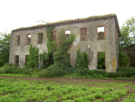 Roesborough Housecountry house · 1485 yd
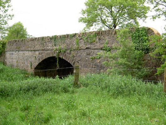 Bohereenbuee Bridgebridge · 1.2 mi
 Mutton Pie HillCastle, motte · 1.4 mi
 The Maid of ErinMemorial · 1.5 mi
 It's a long way to TippereryHeritage attraction · 1.7 mi
 The RockViewpoint · 2.6 mi
 Bansha ForestForest · 2.7 mi
 Glen of AherlowViewpoint · 2.9 mi
 Christ the KingViewpoint · 2.9 mi