
What is recorded here
From the National Monuments Service (Archaeological Survey of Ireland) record DG047-020001
Places near here
Photo credits
- Maker not stated on source page, commons.wikimedia.org
- Maker not stated on source page, www.dreambigtravelfarblog.com
- Maker not stated on source page, www.dreamstime.com
- National Inventory of Architectural Heritage
- Farren Architects; individual photographer not stated, www.farrenarchitects.com
- Kenneth Allen, Wikimedia Commons · CC BY-SA 2.0
- Wikimedia Commons contributor · Public domain
- Kenneth Allen, Geograph · CC BY-SA 2.0
- Golfing in Ireland; photographer not stated, Source publisher
 Cairn with cistCairn with Cist, Megalithic Tomb? · 5 yd
Explorer Tom Cairn with cist in Ballymagrorty OR White House is reviewing its visitors in a little stone book behind the cist. It…
 Cist in AltaghaderryCist · 1173 yd
Explorer Tom Here we have another Cist in Altaghaderry that hasn't quite made it into the public digital records. It feels like a…
 Church & graveyard: killea in KilleaChurch & Graveyard: Killea · 1.4 mi
Explorer Tom Killea’s church and graveyard has no recorded period, so it’s just vibing on its own timeline. After a few pints, it…
 Castruse HouseHouse · 1.6 mi
Explorer Tom Castruse House hides a secret skeleton under its plaster. Local records say it was built in 1792 incorporating parts of…
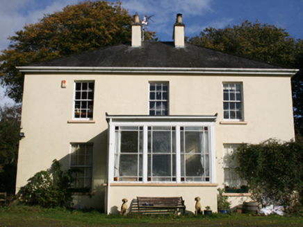 The ManseManse · 1.7 mi
Explorer Tom The Manse in Garshooey was built c. 1860, just as Mr. Samuel McClure settled into his role here. I reckon that…
 Piggery Ridge, Seán Dolan's GAA, CregganGAA ground · 1.8 mi
 Crossroads SchoolSchool · 1.9 mi
Explorer Tom Crossroads School would tell its younger self to stop pretending the semi-basement wasn’t a byre for cows, because…
 Crossroads Presbyterian ChurchChurch/chapel · 1.9 mi
Explorer Tom Crossroads Presbyterian Church carries the date 1783 in stone on its south wall. Its survey records pierced decoration…
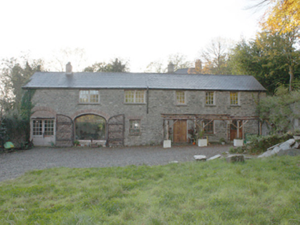 Bogay HouseOutbuilding · 1.9 mi
Explorer Tom Bogay House outbuildings are the leftovers from a big estate’s support system, including a former coach house that’s…
 Grianán of AileachFairy fort / stone ringfort · 2.1 mi
Explorer Tom Grianán of Aileach has two roofed passages within its thick circular wall. Both curve toward the entrance and stop…
 Greenan MountainMountain / peak · 2.1 mi
Explorer Tom Greenan Mountain is a peak in County Donegal with no recorded access details. The picture looks north towards Inch…
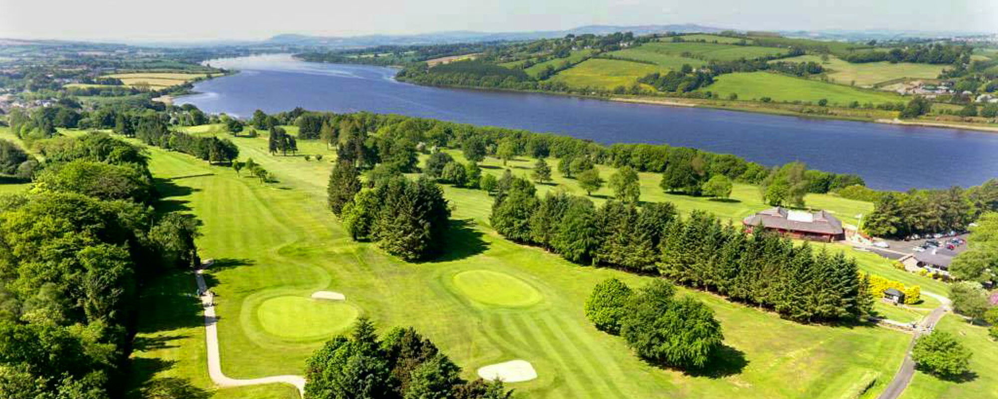 City of Derry Golf ClubGolf course · 2.7 mi
More archaeology and monuments in County Donegal · All of County Donegal

What do you know about this place?Tap to add a comment or ask a question