
What is recorded here
Detached gable-fronted three-bay Presbyterian church, dated 1783, with entrance porch to front gable, vestry to west with boiler room below. Pitched, artificial slate roof with decorative pierced ridge comb, natural slate roof to vestry, rendered chimney to vestry, cast-iron rainwater goods, timber bargeboards with some replacement uPVC bargeboards. Roughcast rendered walls with smooth rendered quoins and plinth course, smooth rendered walls to vestry. Date stone ‘1783’ to south wall. Pointed-arch lancet window openings with hoodmouldings over, smooth rendered quoined reveals and painted cut stone sills, etched and coloured glass in replacement timber frames with Y-tracery pattern, original glass to some and replacement glass to others. Square-headed window opening to vestry with six-over-six horned timber sash. Pointed arch-headed door opening with hoodmoulding over, smooth rendered quoined reveals, timber sheeted double doors with Y-tracery fanlight over. Interior with timber pews and gallery on cast-iron columns to rear. Graveyard surrounding with memorial stones from early eighteenth century to present, with roughcast rendered rubble stone boundary wall to front with lined-and-ruled rendered piers and hoop iron gates. Former Crossroads school (40905510) adjacent.
A simple and well built Presbyterian church. The congregation was formed in 1781 and the church erected two years later. It is of historical interest as a Presbyterian Secession church. It appears, from comparison between the first and later editions of the Ordnance Survey maps that there may have been some later modifications to the layout of the building. Despite alterations and loss of some original fabric, principally the replacement of the slate roof, the church has retained its architectural integrity and continues to provide an important focus for the local Presbyterian community, as well as adding character to its rural setting.
This does not grant access. Most recorded buildings are privately owned; view them only from public ground unless the owner allows entry.
Places near here
 Crossroads Schoolschool · 34 yd
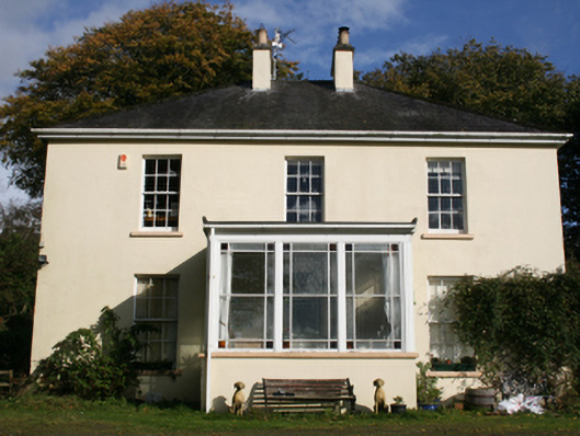 The Mansemanse · 409 yd
 Emmery Celtic CrossWood · 1.3 mi
 Fairy fort / ringfort in AltaghaderryFairy fort / ringfort · 1.4 mi
 ENCLOSURE in KilleaENCLOSURE · 1.6 mi
 CastleCastle, unclassified · 2.6 mi
 Grianán of AileachFairy fort / stone ringfort · 2.8 mi
 Greenan MountainMountain / peak · 2.8 mi
 Burt CastleCastle, tower house · 3.6 mi
 Prehen WoodsForest · 4.0 mi
 Battle of the BogsideMajor battlefield · 4.5 mi
 Double BastionViewpoint · 4.5 mi
Other information
Photo: Kenneth Allen · CC BY-SA 2.0