
What is recorded here
Drumacleeskin holds a vast oval hilltop enclosure where a low earthen bank and shallow fosse still trace a boundary one hundred and ten metres long. The south-western break and causeway mark the original entrance, inviting entry into a space large enough for crowds, ceremonies or ordinary life long forgotten. A holy well sits just outside the eastern fosse, suggesting the site remained alive for drinking, healing or prayer long after its builders vanished.
Large raised oval area (int. dims. c.110m NW-SE; 90m NE-SW) enclosed by a low earthen bank and a wide, shallow fosse identifiable from SSE-S-SSW. The bank has been scarped and surmounted by a modern low bank of earth and stone. Break in bank with accompanying causeway at SSW apparently marks the original entrance. Just outside the fosse at E is a holy well (CV016-037002-).
The above description is derived from the published 'Archaeological Inventory of County Cavan' (Dublin: Stationery Office, 1995). In certain instances the entries have been revised and updated in the light of recent research.
Date of upload/revision: 22 December 2008
The monument record does not grant public access. Check the route and ask the landowner before entering private land.
- What survives
- Recorded monument
Places near here
 Mass-rock in Knocks WestMass-rock · 389 yd
 CallowhillMountain / peak · 913 yd
 CorrakeeranMountain / peak · 1021 yd
 CairnCairn, unclassified · 1354 yd
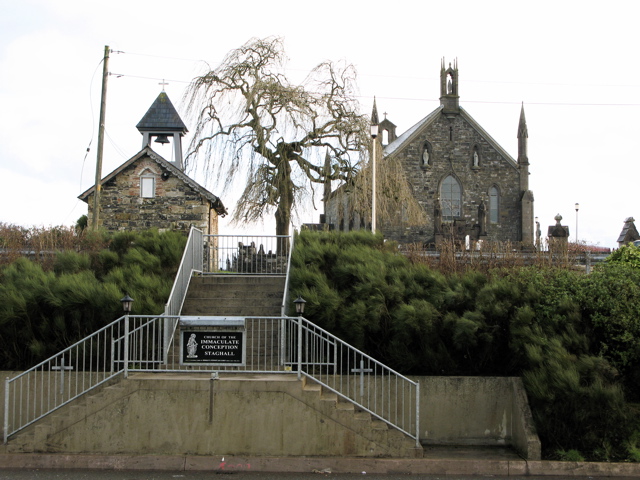 Church in MagherintempleChurch · 1.4 mi
 Drumcarn Ho.Castle, unclassified · 1.7 mi
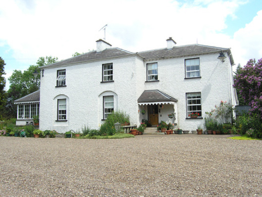 Killoughter Glebe Houserectory/glebe/vicarage/curate's house · 1.8 mi
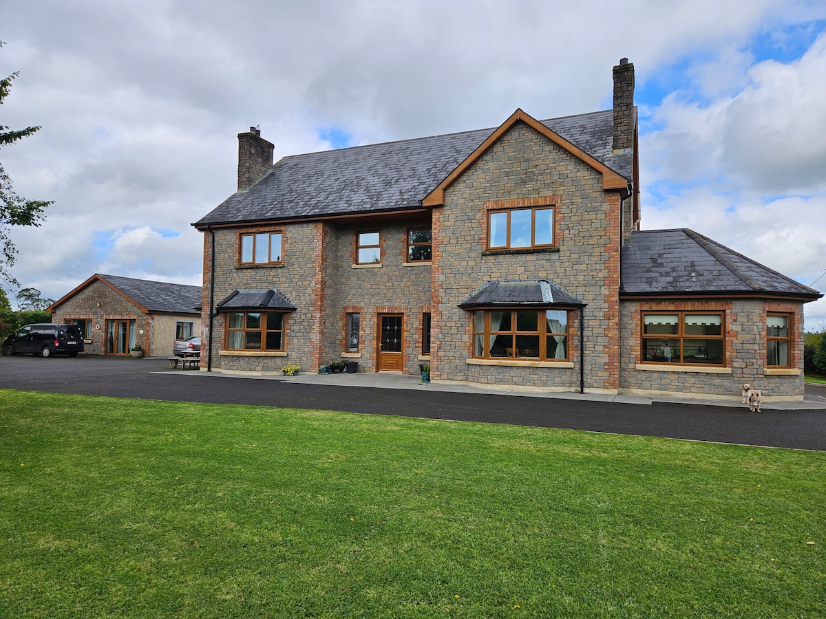 StoneparkWood · 1.9 mi
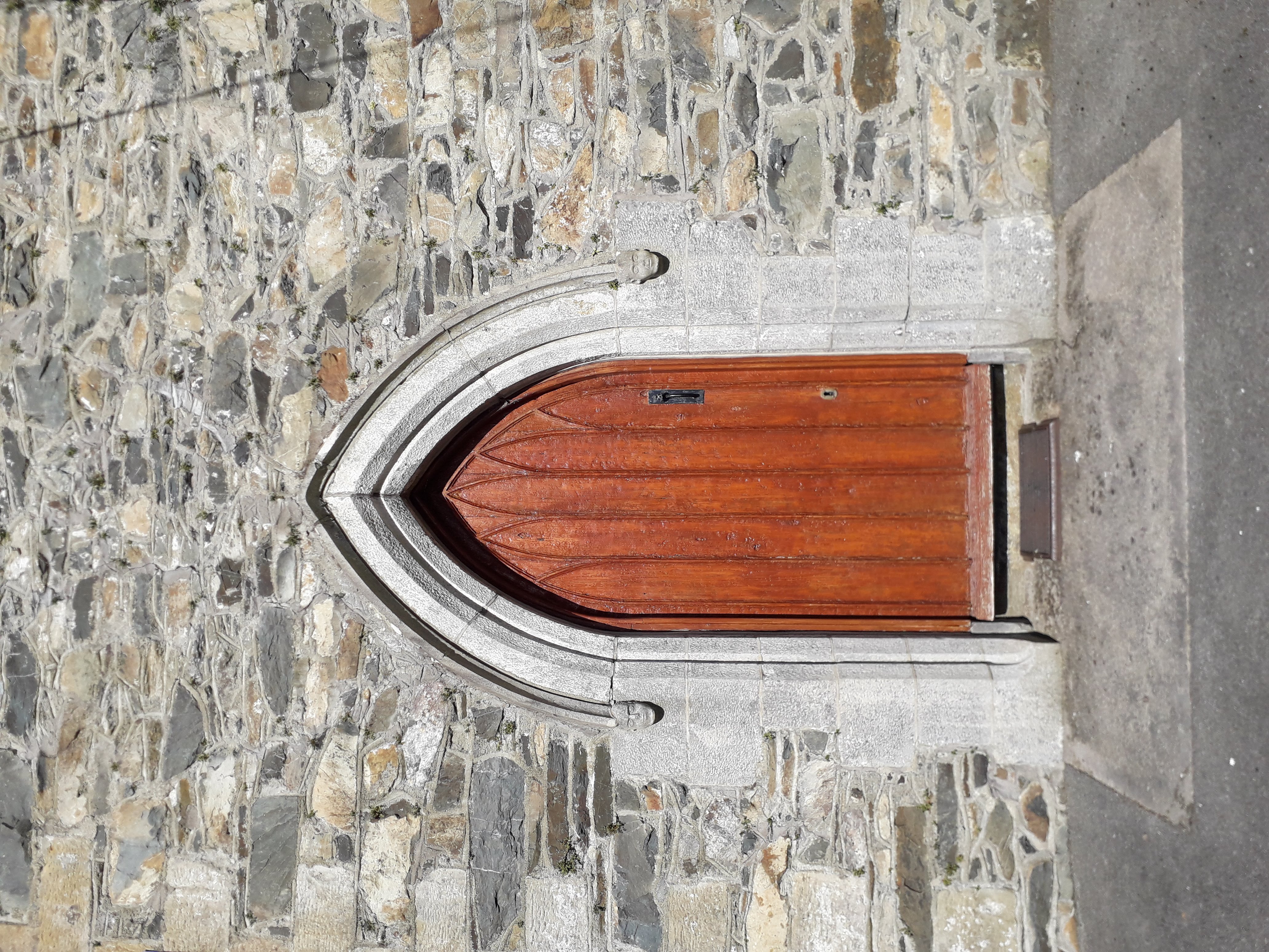 KilloughterWood · 2.1 mi
 RuinsHouse, fortified house · 2.5 mi
 Garden IsleIslet · 3.7 mi
 Giant's GraveArchaeological place · 3.9 mi
Other information
Photo: Credit not shown in the picture search · Rights wording not checked; contact us if this picture should be removed