
What is recorded here
Situated on a rise with rock outcrop at the bottom of a S-facing slope. This was described in the 1940s as ‘a small mound of stones about 8 feet across and not more than 2 high (c. 2.45m; c. 0.6m), bounded by a kerb of rather large stones. Towards the north side of the mound stands a quarried block with rather sharp edges, 3’ x 1’ 8” x 4’ 6” high (c. 0.9m; c. 0.5m; c. 1.35m)’ (SMR file).
The above description is derived from the published 'Archaeological Inventory of County Monaghan' (Dublin: Stationery Office, 1986). In certain instances the entries have been revised and updated in the light of recent research.
Revised by: Michael Moore
Date of revision: 21 June 2018
The monument record does not grant public access. Check the route and ask the landowner before entering private land.
- What survives
- Recorded monument
Places near here
 Worm Ditch or Black Pigs RaceArchaeological place · 152 yd
 CallowhillMountain / peak · 523 yd
 EnclosureEnclosure, large enclosure · 552 yd
 LattacrossanMountain / peak · 1395 yd
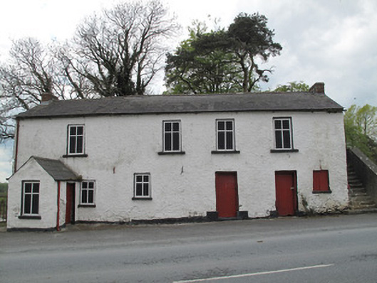 Scotshouse National Schoolschool · 1.2 mi
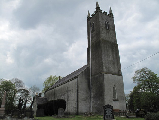 Saint Andrew's Church (Currin)church/chapel · 1.2 mi
 The Dark WoodWood · 1.7 mi
 The Beech WoodWood · 1.7 mi
 Drumcarn Ho.Castle, unclassified · 2.4 mi
 Bawn in KillyfanaBawn · 3.8 mi
 Garden IsleIslet · 4.2 mi
 Giant's GraveArchaeological place · 4.6 mi
Other information
Photo: Credit not shown in the picture search · Rights wording not checked; contact us if this picture should be removed