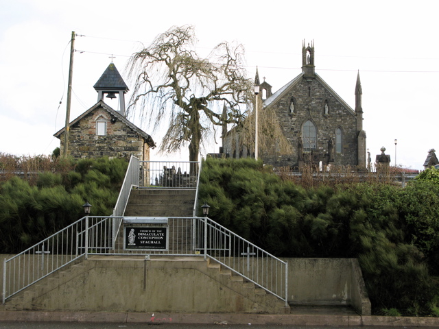
What is recorded here
Situated at the centre of Magherintemple hilltop enclosure (CV016-099001-). Davies (1948, 95) recorded that the church was a chapel-of-ease and not the centre of a parish and that it is shown with a tower on the 'Escheated Counties Map.' On the ground he noted some masonry among which was a cut-stone fragment possibly from an early window. No visible remains of church at ground level. (CUCAP AVR 32)
The above description is derived from the published 'Archaeological Inventory of County Cavan' (Dublin: Stationery Office, 1995). In certain instances the entries have been revised and updated in the light of recent research.
Date of upload/revision: 22 December 2008
A local church or high cross; wider significance not recorded.
The monument record does not grant public access. Check the route and ask the landowner before entering private land.
- What survives
- Recorded monument
Places near here
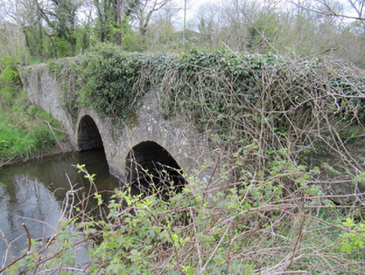 bridgebridge · 1479 yd
 Worm Ditch or Black Pigs RaceArchaeological place · 1.0 mi
 CorrakeeranMountain / peak · 1.0 mi
 LattacrossanMountain / peak · 1.1 mi
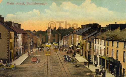 Mass-rock in Longfield (drumcarn Ed)Mass-rock · 1.1 mi
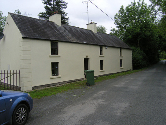 miller's housemiller's house · 1.1 mi
 Embanked enclosureBawn · 1.8 mi
 Cush WoodWood · 2.4 mi
 Drumcarn Ho.Castle, unclassified · 2.4 mi
 The Beech WoodWood · 2.5 mi
 Giant's GraveArchaeological place · 3.4 mi
 Garden IsleIslet · 4.7 mi
Other information
Photo: Credit not shown in the picture search · Rights wording not checked; contact us if this picture should be removed