
What is recorded here
Large raised oval area (int. dims. c.110m NW-SE; 90m NE-SW) enclosed by a low earthen bank and a wide, shallow fosse identifiable from SSE-S-SSW. The bank has been scarped and surmounted by a modern low bank of earth and stone. Break in bank with accompanying causeway at SSW apparently marks the original entrance. Just outside the fosse at E is a holy well (CV016-037002-).
The above description is derived from the published 'Archaeological Inventory of County Cavan' (Dublin: Stationery Office, 1995). In certain instances the entries have been revised and updated in the light of recent research.
Date of upload/revision: 22 December 2008
A local fairy fort (ringfort/rath); wider significance not recorded.
The monument record does not grant public access. Check the route and ask the landowner before entering private land.
- What survives
- Recorded monument
Places near here
 Mass-rock in Knocks WestMass-rock · 389 yd
 CallowhillMountain / peak · 913 yd
 CorrakeeranMountain / peak · 1021 yd
 CairnCairn, unclassified · 1354 yd
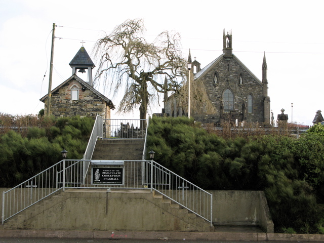 Church in MagherintempleChurch · 1.4 mi
 Drumcarn Ho.Castle, unclassified · 1.7 mi
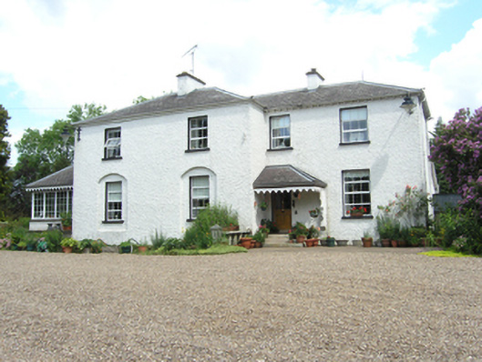 Killoughter Glebe Houserectory/glebe/vicarage/curate's house · 1.8 mi
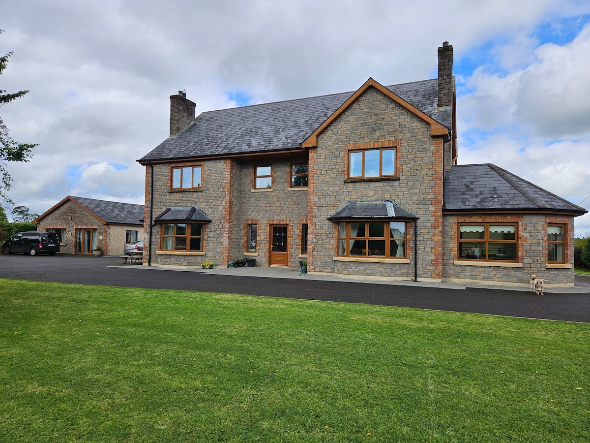 StoneparkWood · 1.9 mi
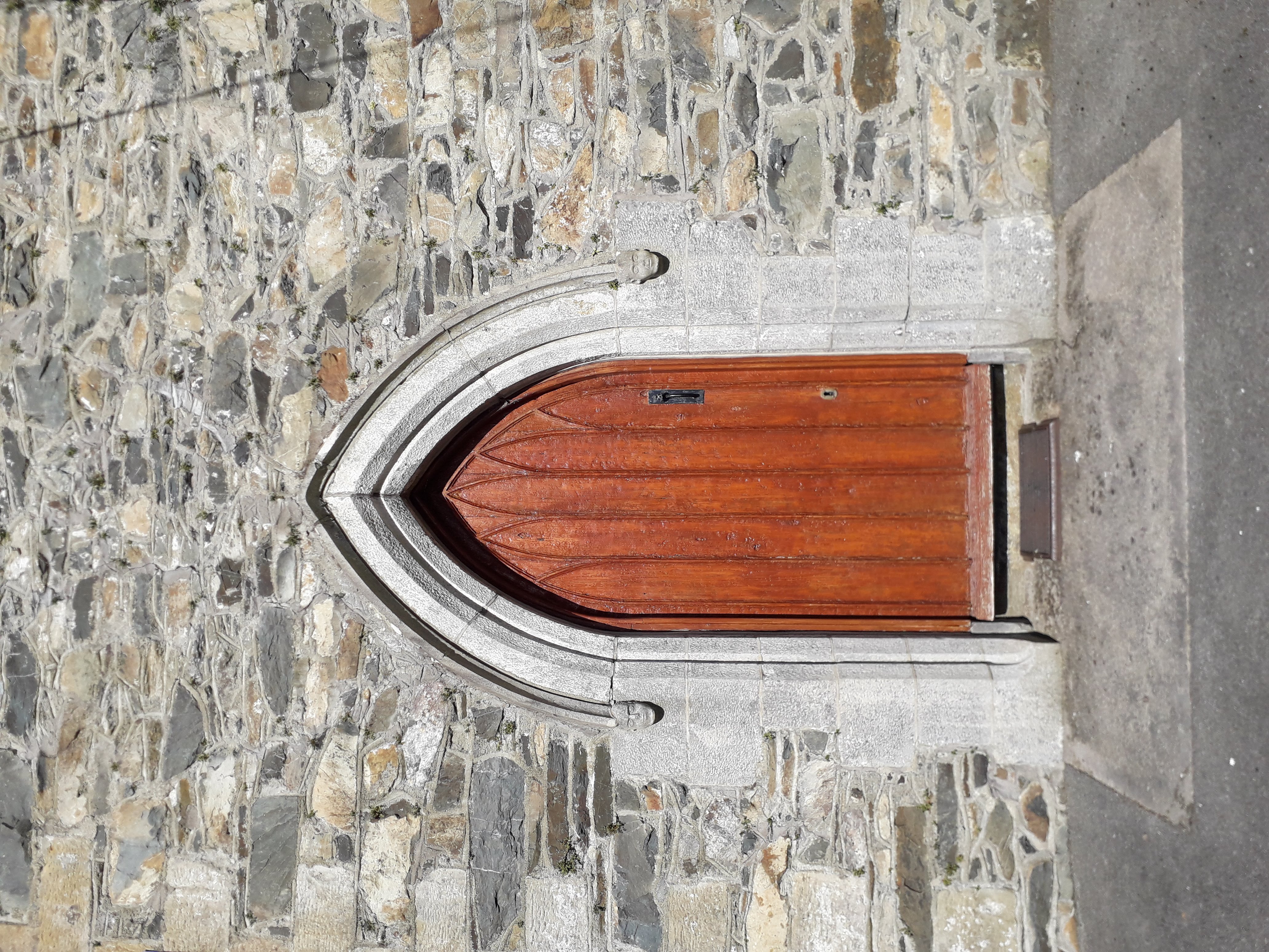 KilloughterWood · 2.1 mi
 RuinsHouse, fortified house · 2.5 mi
 Garden IsleIslet · 3.7 mi
 Giant's GraveArchaeological place · 3.9 mi
Other information
Photo: Credit not shown in the picture search · Rights wording not checked; contact us if this picture should be removed