
What is recorded here
Around the summit of a low hill (101.5m OD) surrounded by flat pasture (77m OD), with excellent views in all directions. The E edge of the site was located along the old townland boundary with Garryduff. Enclosure (LI023-134----) located 200m to NE. The site is not depicted on historic OSi maps but is visible on both…
Read the whole record
From the National Monuments Service (Archaeological Survey of Ireland) record LI023-267
Places near here
Photo credits
- Kmcnamee, Wikimedia Commons · CC BY-SA 4.0
- Maker not stated on source page, www.gettyimages.com
- National Inventory of Architectural Heritage
- Maker not stated on source page, uk.pinterest.com
- Maker not stated on source page, www.pinterest.com
- Maker not stated on source page, evoke.ie
 Caherline GAA pitchGAA ground · 570 yd
 CastleCastle, unclassified · 995 yd
Explorer Tom This Castle in Greenane supposedly has a hidden tunnel straight to the local pub. Nobody's found it yet, which keeps…
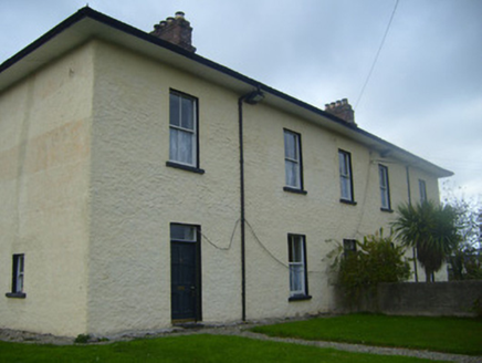 BrookvilleRic barracks · 1110 yd
Explorer Tom Brookville in Caherconlish was the time the whole parish argued about whether it looked military or just very serious.…
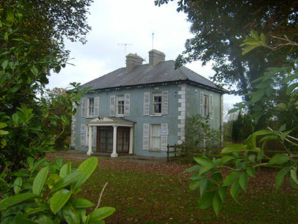 Brook VillaHouse · 1229 yd
Explorer Tom Brook Villa in Caherconlish was refused a visit by a bishop who thought it was too fancy. The sash windows are sharp…
 presbytery/parochial/curate's house1232 yd
Explorer Tom Presbytery in Lombardstown smells like a mix of old books and fresh bread, which is exactly what you’d expect from a…
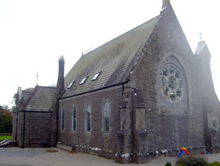 The Old ChurchChurch/chapel · 1278 yd
Explorer Tom The Old Church in Caherconlish had a time when a fox took charge of the parish, which explains some of the mess. It’s…
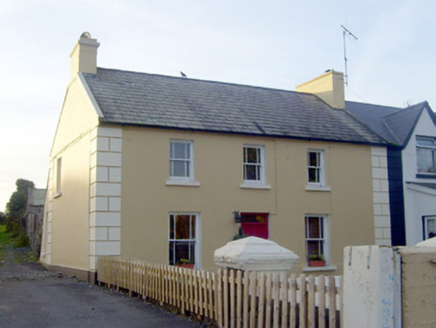 GreenvilleHouse · 1402 yd
Explorer Tom Greenville in Caherconlish has an imaginary fan club that meets every Tuesday to appreciate its diminishing windows.…
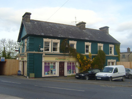 shop/retail outlet1426 yd
Explorer Tom Caherconlish’s ornate shop front is having a full-on feud with its neighbour over who has the fancier window scrolls.…
 Caherconlish Castle (site of), HachuredCastle, tower house · 1521 yd
Explorer Tom This Caherconlish tower house claims to be older than the concept of time itself, which is probably a lie. Linger, it's…
 TombTomb, chest tomb · 1522 yd
Explorer Tom Tomb in Caherconlish has a hidden message in its stones that just says 'Please Stop Touching Me' if you squint at the…
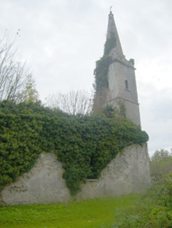 Caherconlish ChurchChurch/chapel, mausoleum · 1527 yd
Explorer Tom Caherconlish Church in Caherconlish would be a disaster on a reality show because it’s falling apart slowly. It’s got…
 Fairy fort / earthen ringfort in BallyartFairy fort / earthen ringfort · 1.9 mi
Explorer Tom Fairy fort / earthen ringfort in Ballyart started because two lads bet they could dig a perfect circle in one go, which…
More archaeology and monuments in County Limerick · All of County Limerick

What do you know about this place?Tap to add a comment or ask a question