
What is recorded here
An irregular oval enclosure which appears to enclose parts of the summit of Windmill Hill. The monument was first reported (Ní Lionáin and Davis, 2014) in 2014 on the basis of lidar survey and analysis and subsequent geophysical analysis (Target, 2018) further clarified its features. The monument is most clearly seen…
Read the whole record
From the National Monuments Service (Archaeological Survey of Ireland) record DU021-116
Places near here
Photo credits
- Maker not stated on source page, www.pinterest.com
- Maker not stated on source page, pt.pinterest.com
- National Inventory of Architectural Heritage
- Golfing in Ireland; photographer not stated, Source publisher
- Maker not stated on source page, www.irishmirror.ie
- Maker not stated on source page, en.wikipedia.org
- Maker not stated on source page, nexusnewsfeed.com
- Ian Paterson, Wikimedia Commons · CC BY-SA 2.0
 Graveyard in ColmanstownGraveyard · 854 yd
Explorer Tom Graveyard in Colmanstown has a cow that tried to buy it with a shiny button, which is a classic move for livestock with…
 Athgoe CemeteryCemetery · 858 yd
Explorer Tom Athgoe Cemetery had a matchmaker who worked there for decades, convincing couples they were meant for each other by…
 Keatingspark HouseFarm house · 861 yd
Explorer Tom Keatingspark House is an 1880 farmhouse with a porch that thinks it’s very fancy. It’s got original render and sits on…
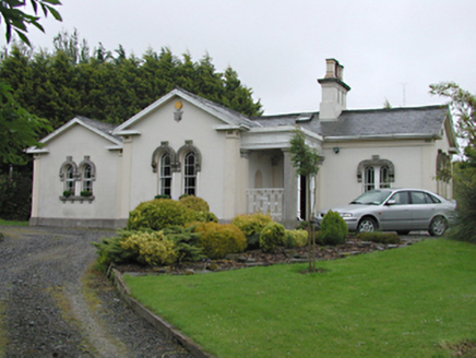 Steelstown LodgeGate lodge · 933 yd
Explorer Tom Steelstown Lodge is playing gatekeeper for the old Johnstown Kennedy Estate, rocking those unusual round-headed timber…
 Beech Park Golf ClubGolf course · 1403 yd
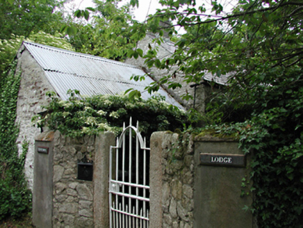 Newtown LodgeOutbuilding · 1459 yd
Explorer Tom Newtown Lodge in Newtown Upper is an outbuilding of some antiquity with original features still hanging on for dear…
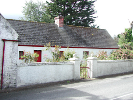 farm house1529 yd
Explorer Tom Farm house in Crockshane is all about that smooth render and timber tongue-and-groove door from around 1820. It’s got…
 Mapped cemeteryCemetery · 1587 yd
Explorer Tom Mapped cemetery in County Dublin is sick of being asked if it’s haunted, because yes, obviously, but that’s not the…
 CastleCastle, tower house · 1.1 mi
Explorer Tom The other Aderrig Castle has been described as a mansion in 1546, but its exact location is still a bit of a riddle for…
 Fairy fort / ringfort in Newtown UpperFairy fort / ringfort · 1.1 mi
Explorer Tom Fairy fort / ringfort in Newtown Upper ended up in the wrong place because Dowd was probably drunk when he named it.…
 Fairy fort / ringfort in BadgerhillFairy fort / ringfort · 1.5 mi
Explorer Tom Fairy fort / ringfort in Badgerhill is on a hill but not visible at ground level, so its first owner probably had an…
 Rathcoole ParkPark · 2.0 mi
Explorer Tom Rathcoole Park gives the village a generous patch of hills and water just off Dublin's busy roads: enter and the first…
More archaeology and monuments in County Dublin · All of County Dublin

What do you know about this place?Tap to add a comment or ask a question