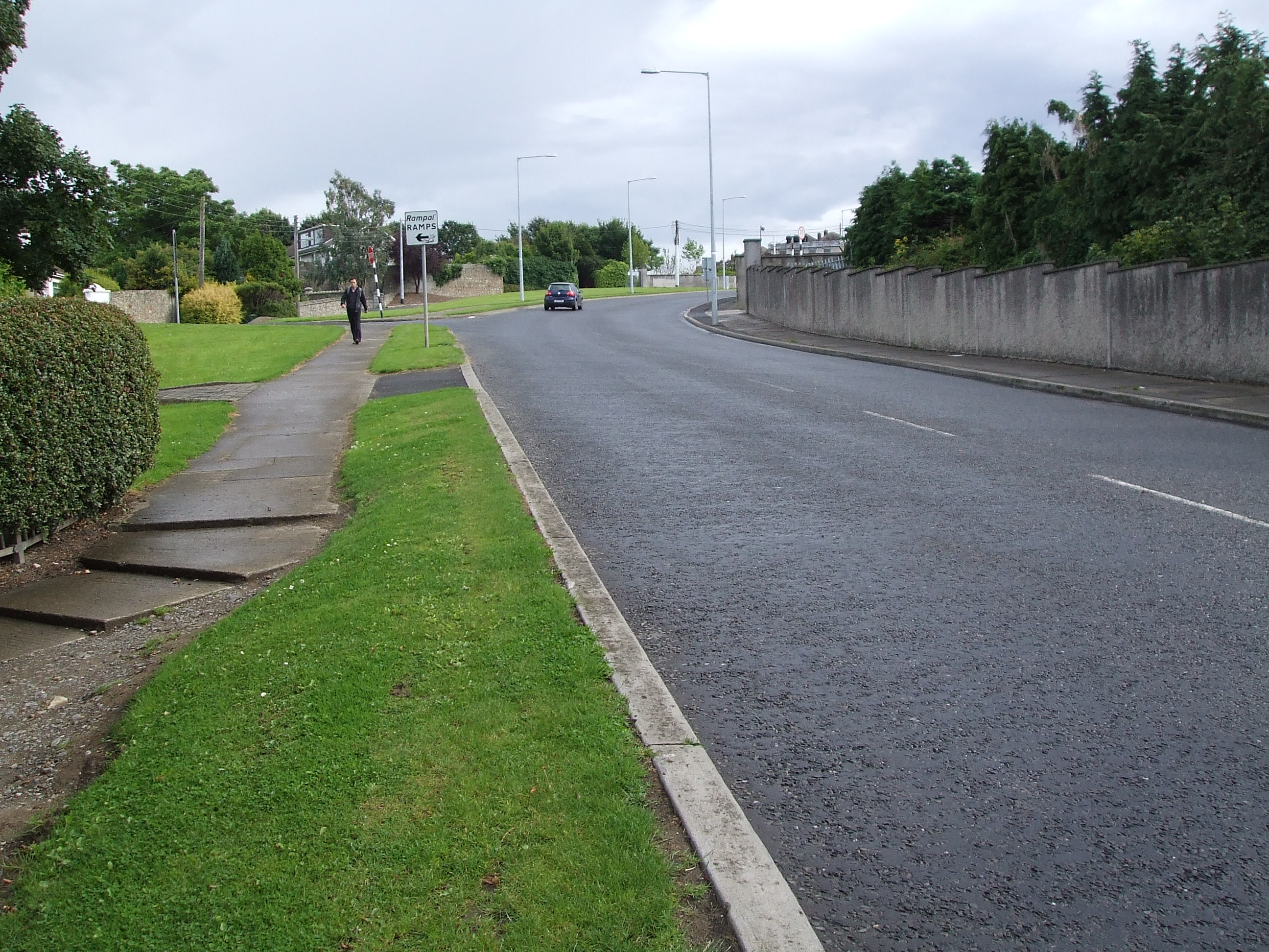
What is recorded here
The western of two ring-ditches visible as crop marks on an aerial photograph (SMR file; pers. comm. Ger Dowling, 10 March 2015). See also DU021-111----.
DU021-110----_01.jpg: Aerial view showing the crop marks (from Google Maps, accessed 12 March 2015).
Compiled by: Paul Walsh
Date of upload: 12 March 2015
The monument record does not grant public access. Check the route and ask the landowner before entering private land.
- What survives
- Recorded monument
Places near here
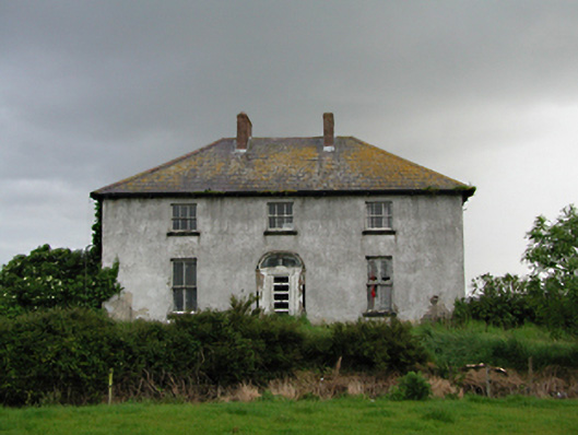 Keelogesfarm house · 487 yd
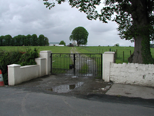 Westmanstown Housefarm house · 525 yd
 Enclosure in CornerparkEnclosure · 653 yd
 Castle (site of)Castle, unclassified · 1180 yd
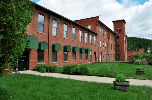 Earthwork in Brownstown (newcastle By.)Earthwork · 1487 yd
 Grand Canal WayWalking route · 1549 yd
 European YewEuropean Yew · 1.0 mi
 IndicatedCastle, motte · 1.1 mi
 Saint Finian's WellSpring · 1.4 mi
 Athgoe HillMountain / peak · 1.9 mi
 Inniscara GalleryGallery · 2.0 mi
 Meadow WildlifeVisitor information · 2.1 mi
Other information
Photo: Credit not shown in the picture search · Rights wording not checked; contact us if this picture should be removed