What is recorded here
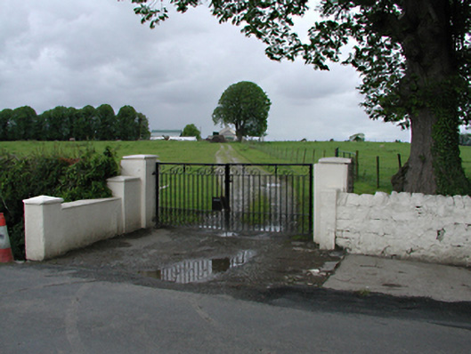
Detached two-storey former farmhouse, built c.1850, now disused. Single-storey extension to east. Casement windows in east elevation. Rendered chimneystack to gable. Pitched slate roof, possibly truncated about its axis. Single-storey rubble stone byre to south. Rendered gate piers and stone arched bridge over stream at entrance. Ancillary buildings around courtyard include barns, stables and workshops.
This former farm house preserves old field boundaries and older agricultural features on its approach track, and may mark the site of an older farmstead.
This does not grant access. Most recorded buildings are privately owned; view them only from public ground unless the owner allows entry.
Places near here
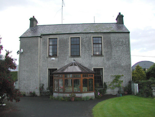 Blundelstown Housefarm house · 367 yd
 Ring-ditch in KeelogesRing-ditch · 525 yd
 Enclosure in CornerparkEnclosure · 627 yd
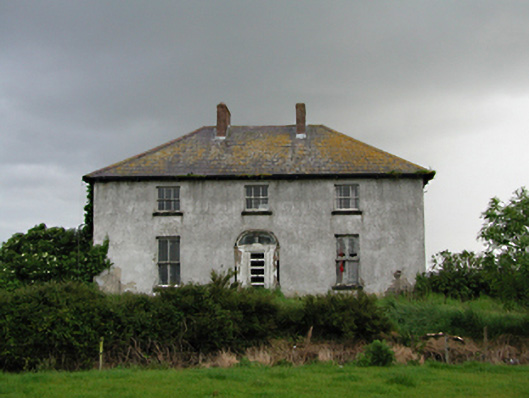 Keelogesfarm house · 932 yd
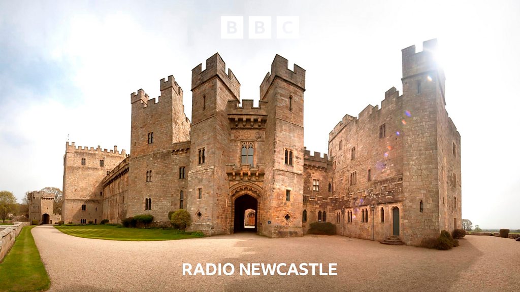 CastleCastle, tower house · 1595 yd
 Castle (site of)Castle, unclassified · 1675 yd
 European YewEuropean Yew · 1.0 mi
 Grand Canal WayWalking route · 1.2 mi
 Saint Finian's WellSpring · 1.3 mi
 Inniscara GalleryGallery · 1.7 mi
 Athgoe HillMountain / peak · 1.8 mi
 Meadow WildlifeVisitor information · 1.8 mi
Other information
Photo: National Inventory of Architectural Heritage · Website use allowed for educational or private purposes with source credit