What is recorded here
Castle is a vanished tower house in a level tillage field opposite the present RC church. No stone still stands, yet the shape of the place survives in a drawn line on an old survey sheet. The field may have swallowed the tower, but it did not erase the fact that people built height there.
The site is located in a level field of tillage W of the road that leads N to Lucan and opposite the present RC church. According to O'Keefe (1986, 55, No. 6) a tower house was indicated in manuscript form on an old copy of the Ordnance Survey 6 inch sheet of the area held by Mr Paddy Healy, Dublin. There are no visible remains at ground level.
Compiled by Geraldine Stout
This remains an important historical record, but the official description says the monument is no longer visible or has been destroyed. The monument record does not grant public access. Check the route and ask the landowner before entering private land.
- What survives
- No visible remains or recorded as destroyed
Places near here
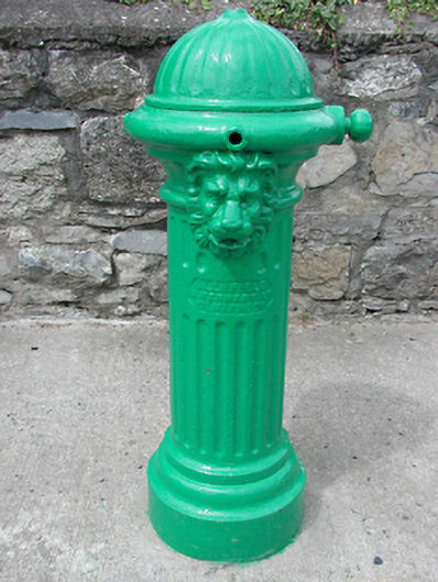 water pumpwater pump · 44 yd
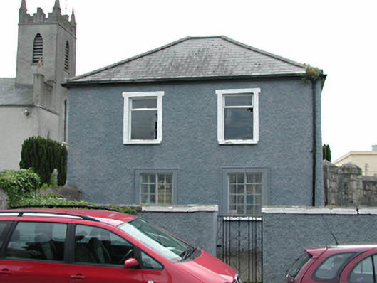 Newcastle National Schoolschool · 48 yd
 Font (present location) in Newcastle SouthFont (present location) · 81 yd
 European YewEuropean Yew · 282 yd
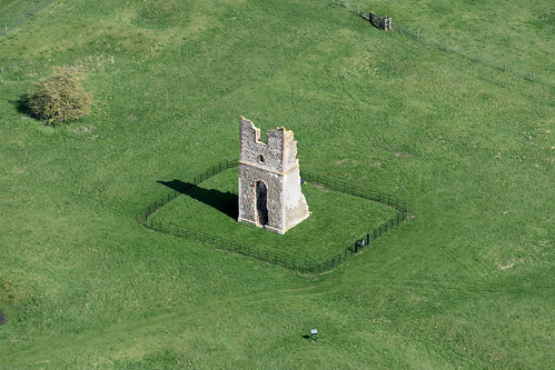 Settlement desertedSettlement deserted, medieval · 312 yd
 IndicatedCastle, motte · 346 yd
 CastleCastle, tower house · 488 yd
 Saint Finian's WellSpring · 774 yd
 Athgoe HillMountain / peak · 1741 yd
 Grand Canal WayWalking route · 1.3 mi
 Icehouse WoodWood · 1.7 mi
 Inniscara GalleryGallery · 1.8 mi
Other information
Photo: Credit not shown in the picture search · Rights wording not checked; contact us if this picture should be removed