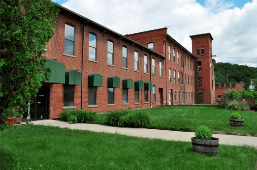
What is recorded here
In grassland, 370m NE of ecclesiastical enclosure (DU021-001001-) and holy well (DU021-001002-). Cropmark of roughly circular shaped area (diam. c. 40m) defined by two ditches with possible field system attached to N and W side of earthwork visible on OSi Bluesky orthoimage taken 2018 (https://sdublincoco.maps.arcgis.com/apps/webappviewer/). Faint outline visible on Digital Globe orthoimage taken 2011-13. Cropmark visible on Google Earth orthoimages taken 29/03/2022 and 07/05/2017.
See attached Google Earth orthoimages
Compiled by: Caimin O'Brien based on details provided by Stephen Callaghan
Date of upload: 5 December 2022
The monument record does not grant public access. Check the route and ask the landowner before entering private land.
- What survives
- Recorded monument
Places near here
 Earthwork in Loughtown LowerEarthwork · 457 yd
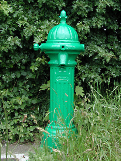 water pumpwater pump · 464 yd
 Relickan WellHoly well · 465 yd
 Grand Canal WayWalking route · 527 yd
 Castle (site of)Castle, unclassified · 701 yd
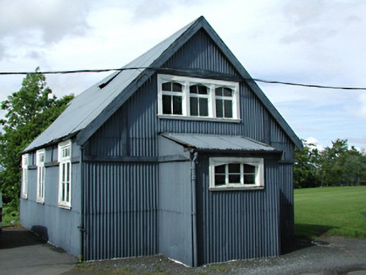 St Luke's C. of I. Churchchurch/chapel · 787 yd
 European YewEuropean Yew · 1.5 mi
 CastleCastle, tower house · 1.7 mi
 Saint Finian's WellSpring · 1.8 mi
 Saint Wolstan'sHeritage attraction · 1.9 mi
 Batty Langley WoodsForest · 2.1 mi
 Arthur GuinessMemorial · 2.3 mi
Other information
Photo: Credit not shown in the picture search · Rights wording not checked; contact us if this picture should be removed