DDiscover AloneMapAbout

Henge in Garryard

Henge
Computer-made picture that does not show Henge in GarryardNot a photo of this monument
Computer-made picture. It does not show this monument. · Report the wrong picture

The monument record does not grant public access. Check the route and ask the landowner before entering private land.

What do you know about this place?Tap to add a comment or ask a question

What you write will be public.

What is recorded here

The site comprises an almost circular area enclosed by a ditch bank and internal fosse and has a well-defined entrance feature. The site has external dimensions of 77.7m SE-NW and 74.9m NE-SW. A small portion of the NW of the monument is destroyed and cut off by a modern roadway, fieldbanks and a drainage ditch. The…

Read the whole record
The site comprises an almost circular area enclosed by a ditch bank and internal fosse and has a well-defined entrance feature. The site has external dimensions of 77.7m SE-NW and 74.9m NE-SW. A small portion of the NW of the monument is destroyed and cut off by a modern roadway, fieldbanks and a drainage ditch. The portion of the site in the NW field has been levelled and is today noticeable only by slight variations in vegetation, which presumably mark the one-time presence of the bank and internal fosse. Examination of the site's features are by necessity limited to the much larger portion of the site in the SE field. There is a quite pronounced outer ditch in the NE and SW sectors, but it does not appear clearly about the rest of the site. It varies in width between 1.8m and 4.2m and appears as a clearly defined if shallow depression enclosing the site. In the NE its deepest point is .45m below ground level and 1.45m below the top of the bank; in the SW it is .35m below ground level and 1.3m below the top of the bank. It is probable however that this ditch is not contemporaneous with the rest of the site. At the sectors where the ditch appears the bank has a terraced effect at its top and it is significant that this effect does not appear where the bank is not enclosed by the ditch; in all likelihood the field-builders augmented the height of the bank with material dug from the ditch. Apart from the destroyed portion of the site in the NW field, the bank is well preserved, high and wide. Excepting the sectors enclosed by the outer ditch, it is flat-topped. Where it is enclosed by the ditch there appears, as mentioned above, to be a more terraced effect. It ranges in width between 6.6m and 10.9m. At the NE sector it measures 1.4m above the outer ditch and 1.4m above the internal fosse. In the SW sector the picture is similar, where the bank measures 1.3m above the outer ditch and 1.1m above the internal fosse. The internal fosse is well-defined. It ranges in width between 6m-11.8m. In the SW sector its greatest depth is 1.1m below the top of the bank and .8m below the site's internal area. In the NE sector its greatest depth is 1.2m below the top of the bank and .8m below the interior. The entrance is a clearly defined gap 9.7m in width in the bank and internal fosse, allowing unimpeded entrance through the ESE. The interior of the site is somewhat higher in level than the surrounding farmland. The surface is uneven, but there are no surviving traces of archaeological features above ground level. It has dimensions of 40.4m (SE-NW) and 38m (NE-SW); the former dimension however does not take into account the portion destroyed at the NW of the site (Paddy O'Donovan, NMAJ 1985, 75-77). Dingle. Brandon in association with FAS Training and Employment Authority (1995), no. 99.

From the National Monuments Service (Archaeological Survey of Ireland) record KE010-017

Places near here

Photo credits
  • Maker not stated on source page, www.alamy.com
  • Maker not stated on source page, www.dreamstime.com
  • Maker not stated on source page, www.pinterest.com
  • Maker not stated on source page, www.flickr.com
  • Maker not stated on source page, uk.pinterest.com
  • Maker not stated on source page, za.pinterest.com
  • National Inventory of Architectural Heritage
  • Kmcnamee, Wikimedia Commons · CC BY-SA 4.0
  • Unknown author Unknown author, Wikimedia Commons · Public domain
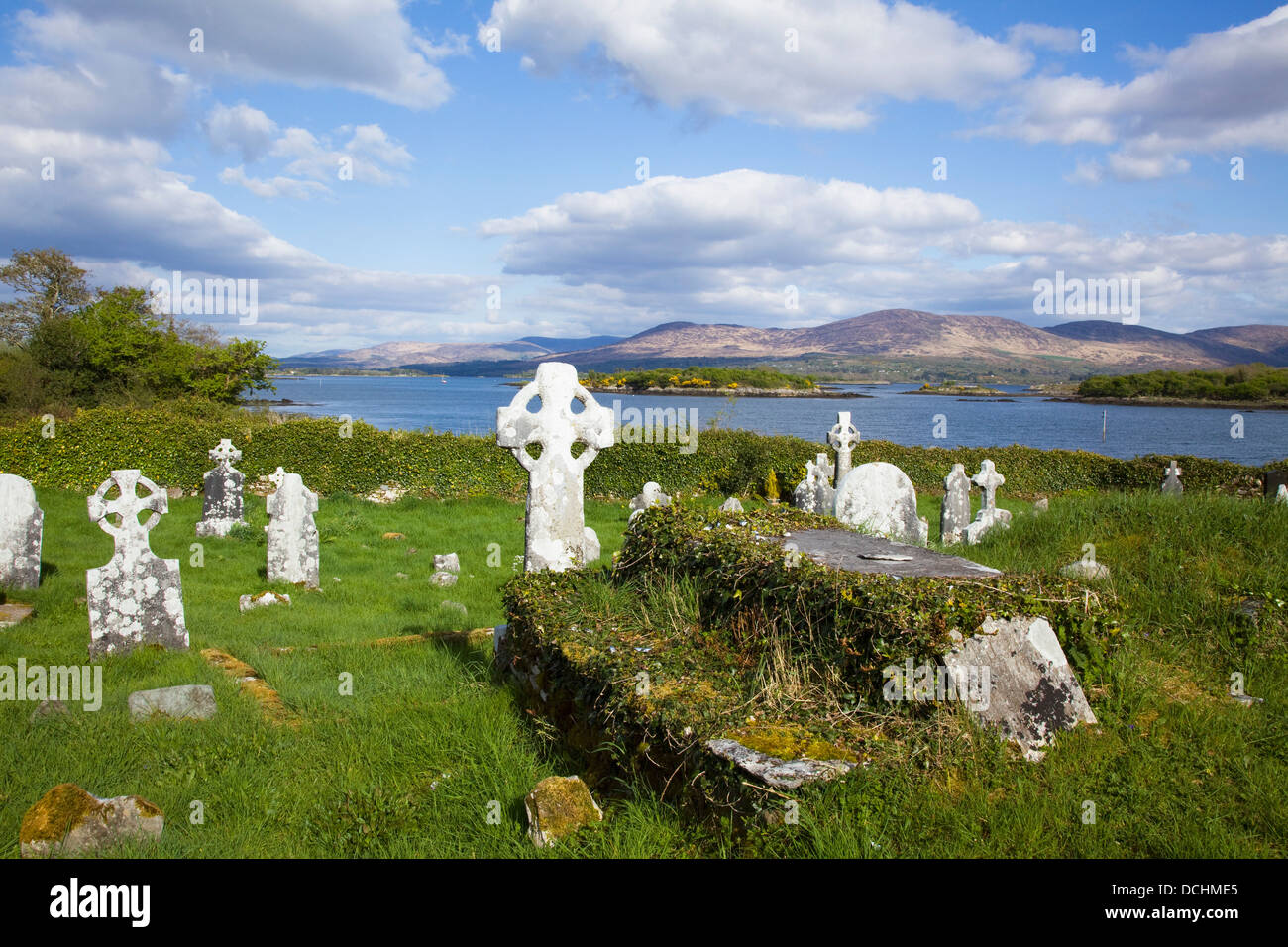
Mapped cemeteryCemetery · 106 yd

Explorer Tom Mapped cemetery in County Kerry has a family tree that looks like it was drawn by a toddler with a crayon and a grudge…

Bullaun stone in GarryardBullaun stone · 144 yd

Explorer Tom Bullaun stone in Garryard hosted a fake royal visit that nobody can disprove or prove. It’s just a stone with holes…

Galey CemeteryGraveyard · 181 yd

Explorer Tom Galey Cemetery has very strong opinions about tourists from Dublin and what they’re doing in Kerry with their fancy…

Enclosure in GarryardEnclosure · 506 yd

Explorer Tom Enclosure in Garryard has an imaginary twin across the sea that it argues with every full moon, according to local…

Fairy fort / earthen ringfort in Inch-MoorFairy fort / earthen ringfort · 1121 yd

Explorer Tom Fairy fort / earthen ringfort in Inch-Moor’s favourite song is 'The Galey River Blues' because it sits right next to…

Fairy fort / earthen ringfort in CoolardFairy fort / earthen ringfort · 1143 yd

Explorer Tom Fairy fort / earthen ringfort in Coolard has been destroyed by drainage schemes, which is ironic because water was its…

Fairy fort / earthen ringfort in AffouleyFairy fort / earthen ringfort · 1397 yd

Explorer Tom Fairy fort in Affouley is proud of being barely perceptible because it thinks subtlety is a virtue that others simply…

Fairy fort / earthen ringfort in GlouriaFairy fort / earthen ringfort · 1399 yd

Explorer Tom Fairy fort / earthen ringfort in Glouria makes a low groaning sound at night when the bog settles into its new shape.…
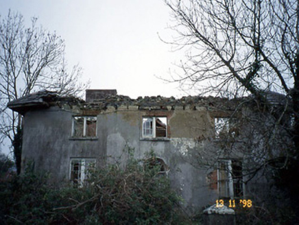
CoolardHouse · 1528 yd

Explorer Tom Coolard in Knockenagh South was once ruled by a goat who thought it owned the place, and honestly, we believed it. Now…

Ballydonoghue GAA pitchGAA ground · 1.0 miGunsboroughFarmyard complex · 1.2 mi

Explorer Tom Gunsborough has a secret talent for hiding lost farm tools in its carriage arches without anyone noticing. It’s…

Lartigue MonorailMuseum · 2.6 mi

Explorer Tom The Lartigue Monorail would post a selfie on social media claiming it's the fastest train in the world, despite going…

More archaeology and monuments in County Kerry · All of County Kerry

Add to this placeAdd a picture Add a detailed tip Add a story

Explore the map1,095,414 places to discover

Next place · or swipeMapped cemetery